
Free 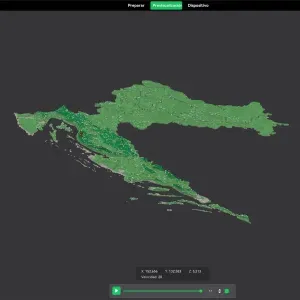
Counties of Croatia. 3D Map puzzle (21-piece)
Creality Cloud
Design Concept
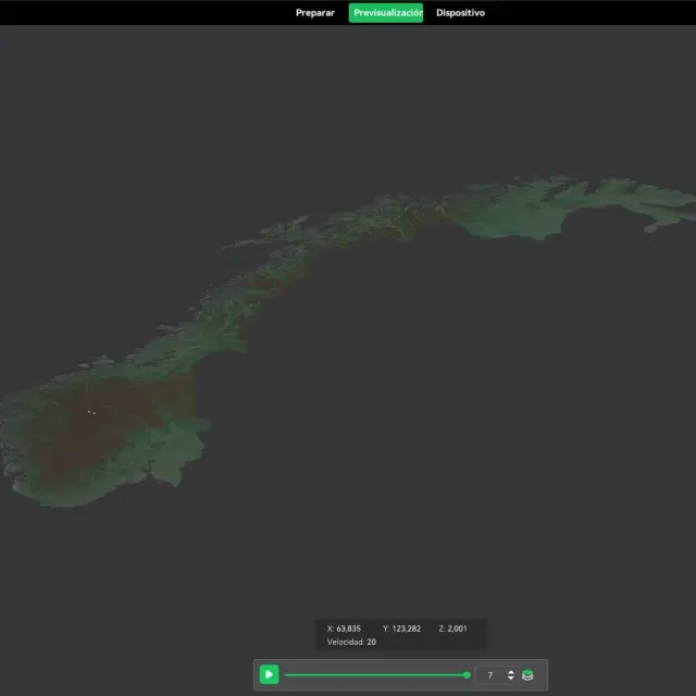
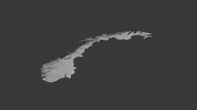
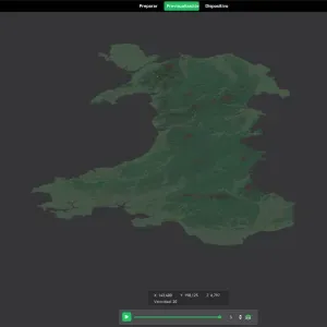
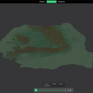
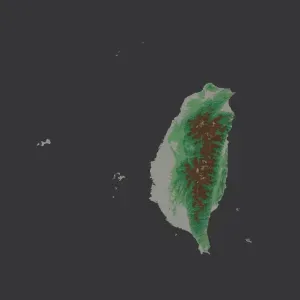
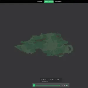
The 3D map puzzle of Norway's counties is designed as an educational and interactive piece, perfect for teaching geographical and political boundaries in a fun way. The detailed relief ensures each piece accurately represents the topographical features of each county.
Usage
This puzzle can serve both as a learning tool in educational settings and as a decorative map display in homes or offices. Its three-dimensional aspect adds a tactile level to map reading and geo-conditioning exercises.
Printing Recommendations
I suggest using a multi-color 3D printer, or post-processing painting, to differentiate each county distinctly. PLA material is recommended for its ease of use. Print at a 0.2mm layer height for a balance of detail and print speed.
Assembly Instructions
Once printed, assembly is straightforward. Each piece fits snugly into the adjacent ones, covered in a border that outlines the full shape of Norway, aiding in easy assembly and handling. Optionally, a backing board can be used to stabilize the complete map once assembled.
Names are used only to indicate the source of a result. Polyzon is not affiliated with the listed sites.