
Бесплатно 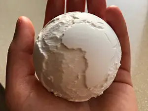
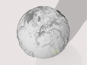
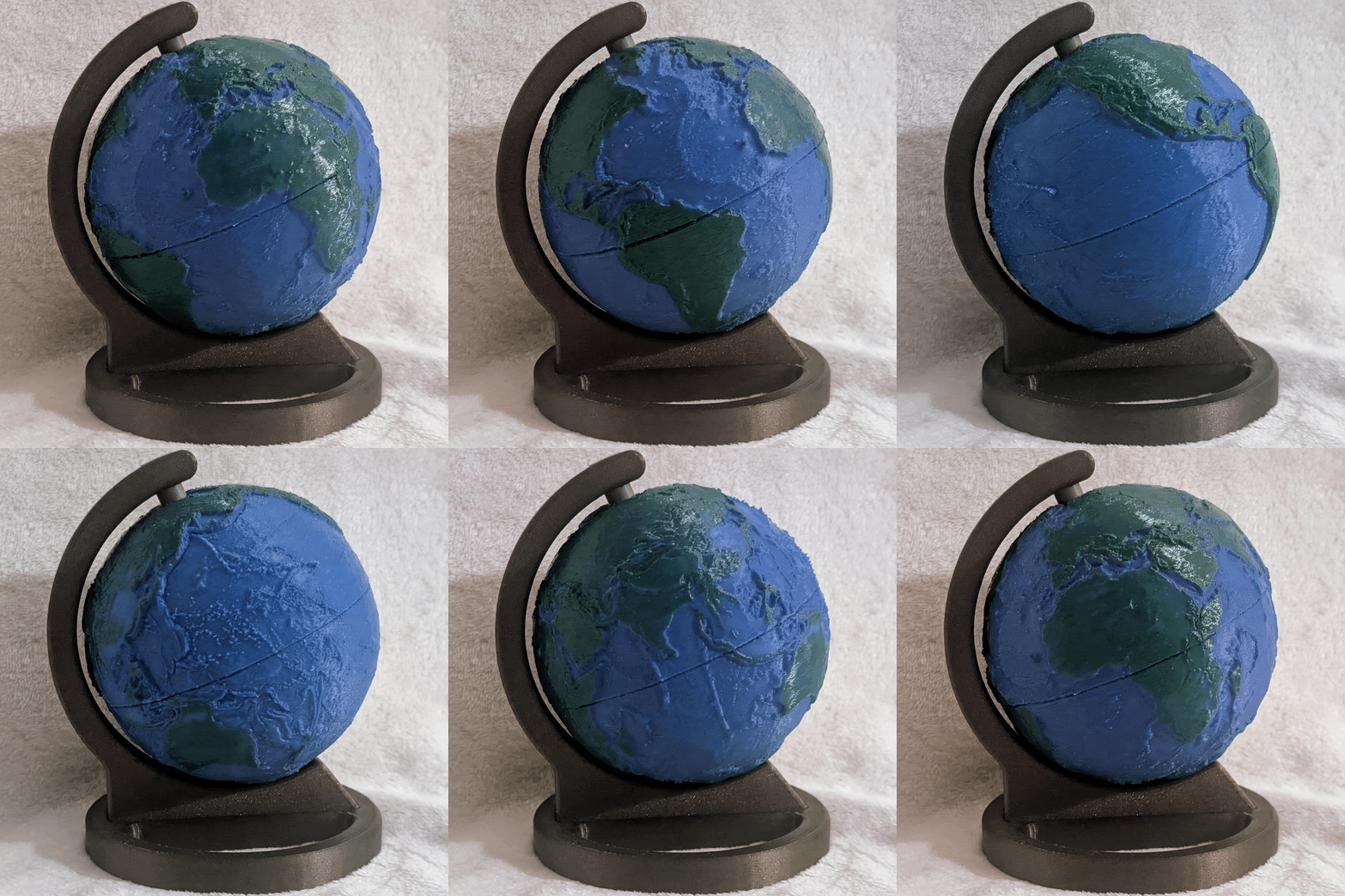
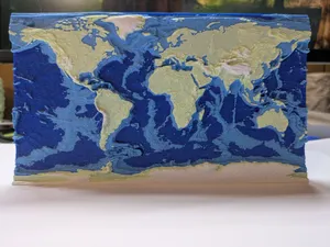
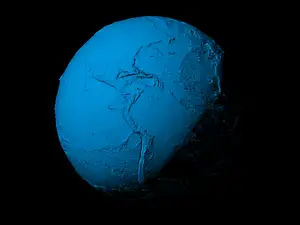
Earth Globe – Ocean Bathymetry Relief (NASA Data)
MakerWorld
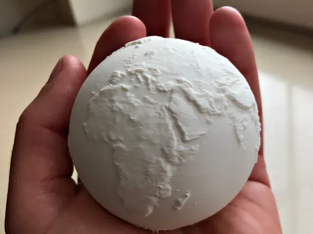
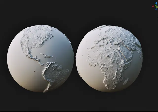
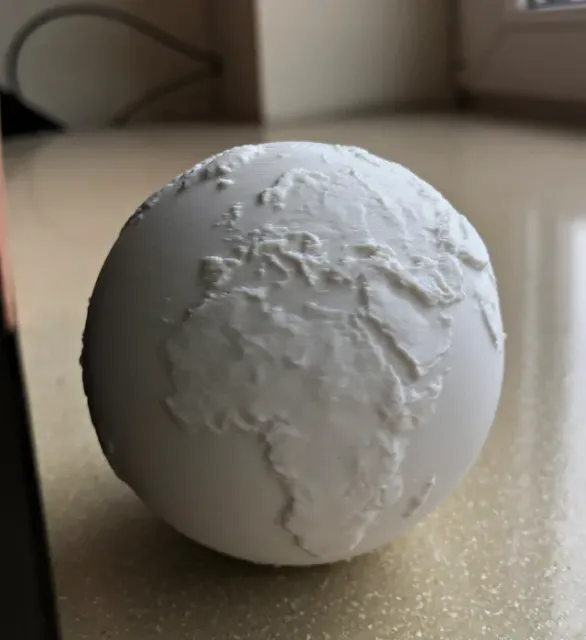
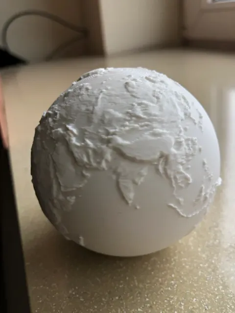
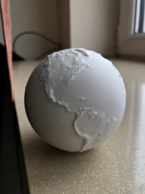
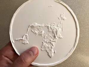
Boost Me Thanks for the support! A 3D printable Earth model based on real elevation data from NASA.
While the data is real, vertical elevation is intentionally exaggerated – at true scale, Earth's surface would appear almost perfectly smooth on a model of this size. This version focuses on continental terrain only, highlighting mountains, plateaus, and major landforms while simplifying lower elevation areas for better printability. Due to real-world elevation scaling, very low-lying regions (such as Florida and other coastal areas) may appear less visible or disappear in the model. This creates a natural effect similar to rising sea levels, while still preserving realistic terrain proportions. The model is optimized for FDM 3D printing and designed to maintain recognizable continent shapes even at smaller sizes. ✔ Based on real elevation data ✔ Clean and printable geometry ✔ Optimized for FDM printers Perfect for: education and geography space and science enthusiasts minimalistic planetary decor Unlike many models, this one uses real-world data instead of manually sculpted terrain, resulting in a more authentic representation of Earth. Data source: NASA Earth topography data (public domain)
0.16mm layer, 3 walls, 12% infill
faster print time

Названия используются только для указания источника результата. Polyzon не аффилирован с перечисленными площадками.
Комментарии