
Бесплатно 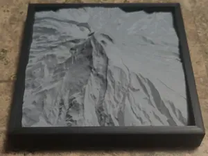
Mt. Hood 3D Map (Topographical)
MakerWorld
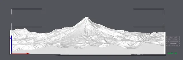

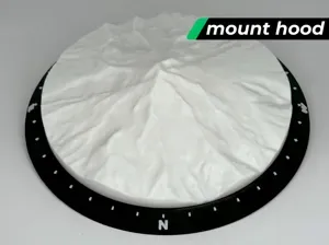
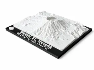
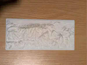
This 3D printed topographic model represents Mount Hood in Oregon, located near the towns of Government Camp and Hood River. The model features exaggerated elevation to highlight the towering peak, surrounding ridges, and glaciers that define the iconic stratovolcano. It captures the dramatic slopes, valleys, and ridgelines, offering a striking view of Oregon's highest mountain.
While not to exact scale, the elevation exaggeration provides a clearer sense of the geological features, making it easier to appreciate the rugged terrain and volcanic structure. This model is ideal for those interested in visualizing Mount Hood's majestic rise, from the Timberline Lodge area up to the summit, as well as surrounding features like the Columbia River Gorge to the north.
Experiment with different layer heights for varied effects. Thicker layers will emphasize the steep contours and sharp elevations of the mountain, while thinner layers will create smoother transitions between the slopes and ridges, offering a more detailed representation of this iconic peak.



Названия используются только для указания источника результата. Polyzon не аффилирован с перечисленными площадками.