
Kostenlos 
Geometric Music Instrument Ocarina
Thingiverse
This collection gathers STL files for geodetic instruments: compasses, protractors, inclinometers, survey markers, and historical navigation aids. It helps you find parts for measuring angles, distances, and elevations before 3D printing. Some items are stand-alone tools, while others are components for a larger setup. Polyzon does not confirm whether models are free, their price, license, official status, affiliation, safety or fitness. Check the current terms at the source.
Der Text dieser Sammlung ist auf Englisch verfasst; die Suche selbst funktioniert in jeder Sprache.
 Eine Sammlung von Polyzon · 48 Modelle von 3 Plattformen
Polyzon stellt diese Sammlung aus den Suchergebnissen der angebundenen Plattformen zusammen. Dubletten und Modelle ohne Vorschaubild werden entfernt, schwache Treffer rutschen ans Ende, der Rest bleibt in der Reihenfolge der Suche. Die Modelle gehören ihren Urhebern – die Bedingungen findest du auf der Seite des jeweiligen Modells.
Auswahlregeln: Polyzon-Redaktion · Text aktualisiert: 12.10.2026

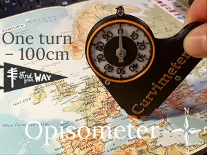

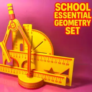


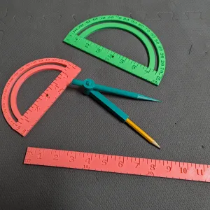

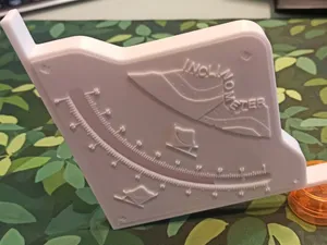
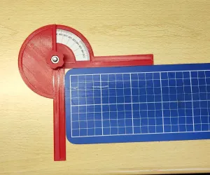

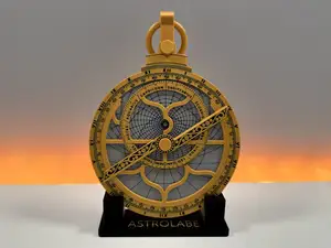
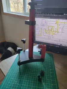

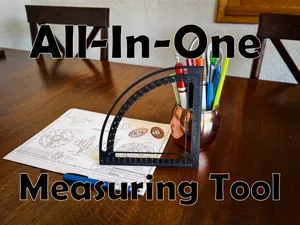
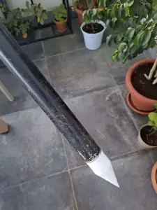

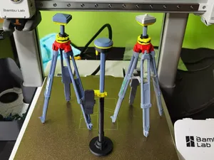
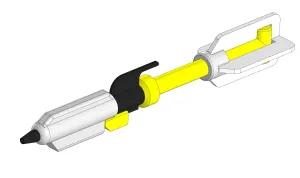

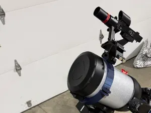
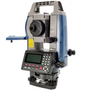

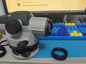
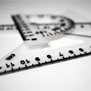

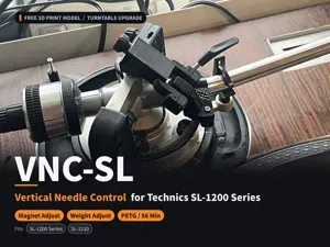
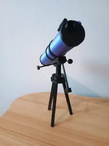

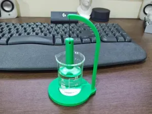
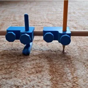

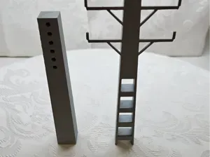
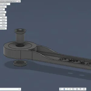

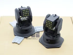
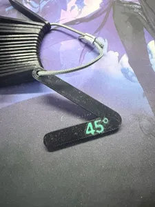

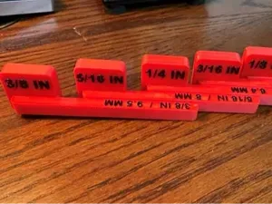
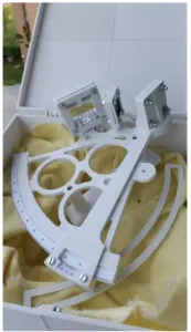

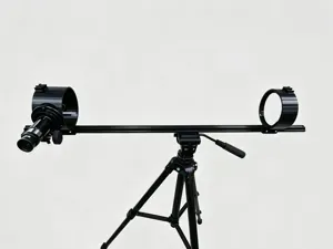
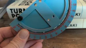
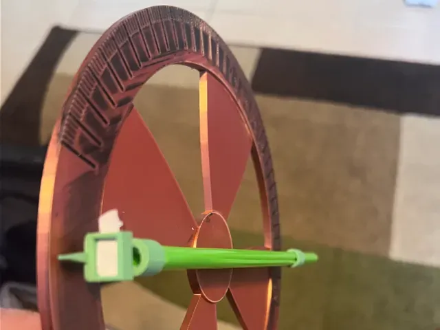
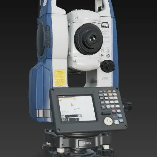
Angle-measuring pieces range from flat protractors and goniometers to inclinometers with moving arms. Surveying accessories include leveling pods, benchmark markers, and tripod adapters, while map-distance tools use a wheel or dial. Historical instruments such as astrolabes and shadow-measurement devices are often display-oriented builds with more decorative geometry.
On the author's model page, check the size and scale, the number of parts, and whether assembly is required. Look at whether supports are needed and which material and settings the author lists. Photos of real prints can show how thin arms, engraved scales, or small pointers come out on a 3D printer.
To refine the search, try synonyms such as theodolite, level, clinometer, sextant, or drafting set. Related topics include geometry tools, cartography, astronomy, and miniature measuring devices. Combining a tool name with a use case, like angle measurement or map distance, can narrow the results.


Der komplette Themenkatalog – von Wohnen & Haushalt bis CNC, mit Suche auf allen angebundenen Plattformen.