
Grátis 
Geometric Music Instrument Ocarina
Thingiverse
This collection gathers STL files for geodetic instruments: compasses, protractors, inclinometers, survey markers, and historical navigation aids. It helps you find parts for measuring angles, distances, and elevations before 3D printing. Some items are stand-alone tools, while others are components for a larger setup. Polyzon does not confirm whether models are free, their price, license, official status, affiliation, safety or fitness. Check the current terms at the source.
O texto desta coleção está em inglês; a busca funciona em qualquer idioma.
 Uma coleção do Polyzon · 48 modelos de 3 sites
O Polyzon monta esta coleção a partir dos resultados de busca dos sites conectados. Repetições e modelos sem prévia são removidos, correspondências fracas vão para o final e o restante segue a ordem da busca. Os modelos pertencem aos seus autores — confira os termos na página de cada modelo.
Regras de seleção: equipe editorial do Polyzon · Texto atualizado em 12/10/2026

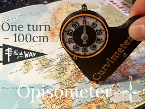


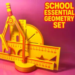


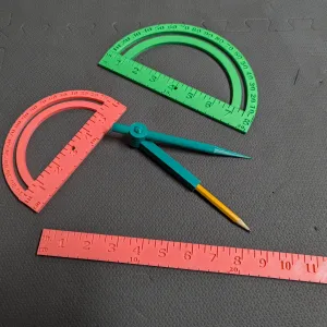

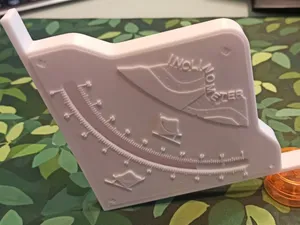
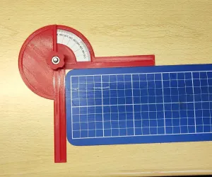

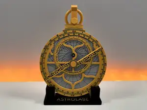
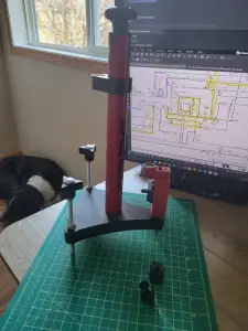

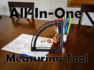
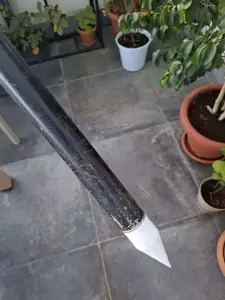

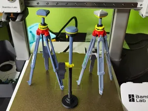
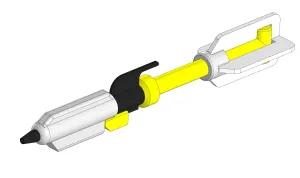

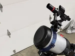
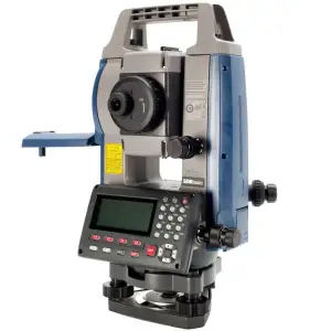

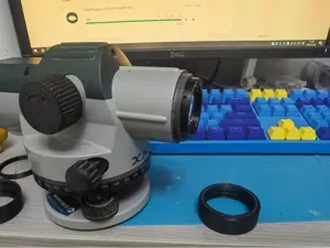
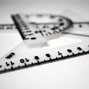

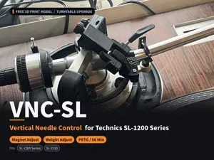
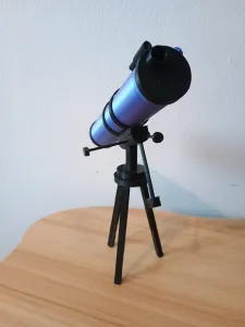

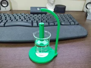
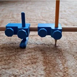

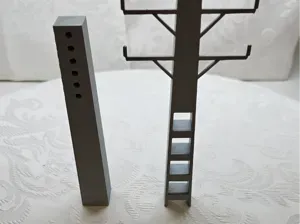
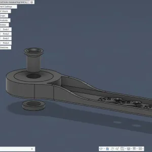

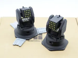
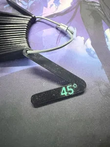

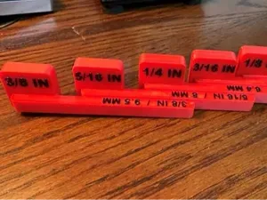
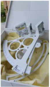

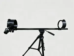
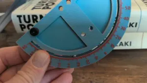
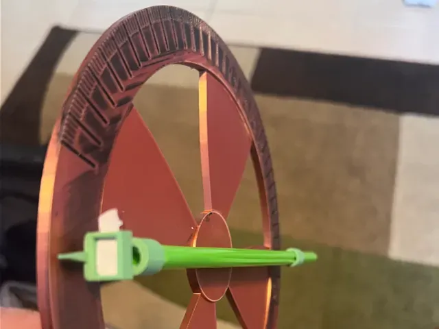
Angle-measuring pieces range from flat protractors and goniometers to inclinometers with moving arms. Surveying accessories include leveling pods, benchmark markers, and tripod adapters, while map-distance tools use a wheel or dial. Historical instruments such as astrolabes and shadow-measurement devices are often display-oriented builds with more decorative geometry.
On the author's model page, check the size and scale, the number of parts, and whether assembly is required. Look at whether supports are needed and which material and settings the author lists. Photos of real prints can show how thin arms, engraved scales, or small pointers come out on a 3D printer.
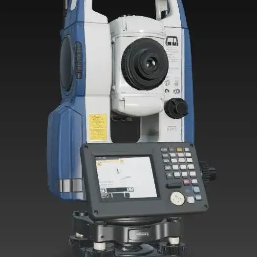
To refine the search, try synonyms such as theodolite, level, clinometer, sextant, or drafting set. Related topics include geometry tools, cartography, astronomy, and miniature measuring devices. Combining a tool name with a use case, like angle measurement or map distance, can narrow the results.


O catálogo completo de temas — de casa e utilidades a CNC, com busca em todos os sites conectados.