
Kostenlos 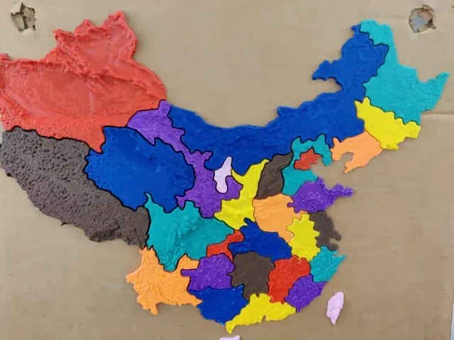
Map of China
Creality Cloud
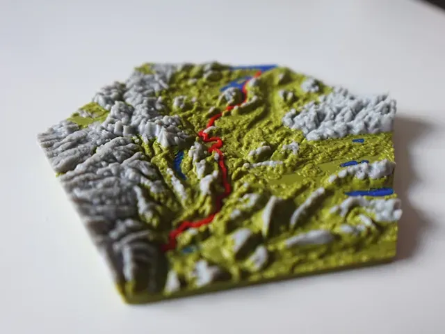
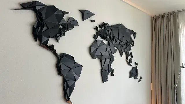
The collection gathers 3D models of maps for 3D printing: world and continent reliefs, jigsaw and sliding puzzles, flexible maps and generator tools. It helps you find a map of a chosen region or assemble one from modular pieces. Most files are STL meshes that you slice and scale yourself. Polyzon does not confirm whether models are free, their price, license, official status, affiliation, safety or fitness. Check the current terms at the source.
Der Text dieser Sammlung ist auf Englisch verfasst; die Suche selbst funktioniert in jeder Sprache.
 Eine Sammlung von Polyzon · 48 Modelle von 6 Plattformen
Polyzon stellt diese Sammlung aus den Suchergebnissen der angebundenen Plattformen zusammen. Dubletten und Modelle ohne Vorschaubild werden entfernt, schwache Treffer rutschen ans Ende, der Rest bleibt in der Reihenfolge der Suche. Die Modelle gehören ihren Urhebern – die Bedingungen findest du auf der Seite des jeweiligen Modells.
Auswahlregeln: Polyzon-Redaktion · Text aktualisiert: 13.10.2026


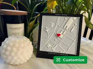
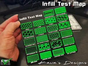


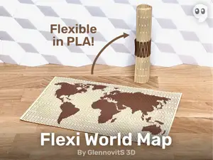
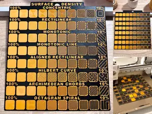

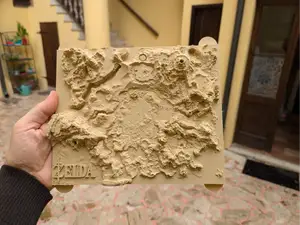

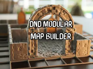

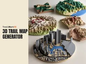
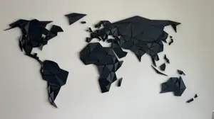

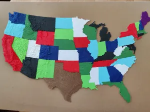


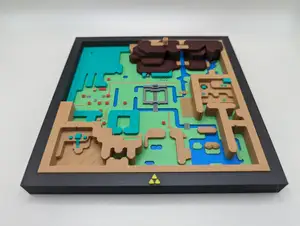

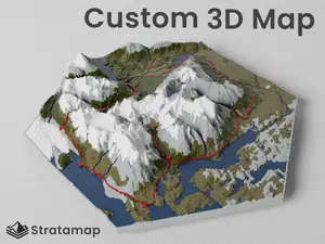
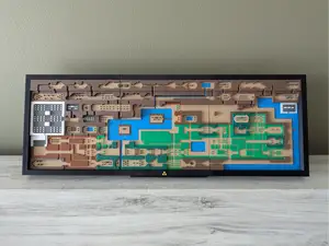

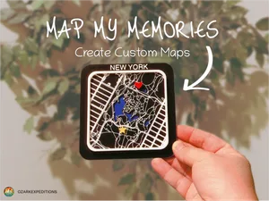


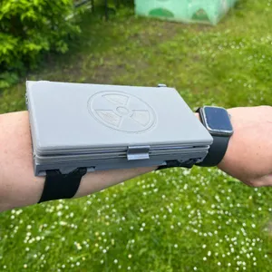

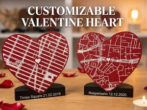

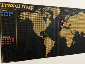


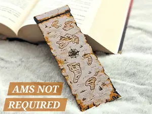

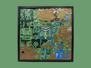


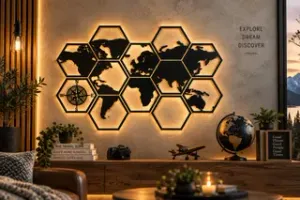


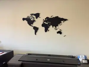
Map models differ mainly in how the surface is built. Relief versions reproduce terrain height and coastline, flat versions stay two-dimensional and are often cut into tiles or hexagons. Puzzles turn the same outline into separate pieces, while flexible prints use thin sections so the map can bend. Generator tools take a different route: you set a region and a style, and the tool produces the mesh.
Before printing, read the author's model page. Check the overall dimensions and scale, the number of separate parts and how they join, and whether the author lists supports, material and slicer settings. Photos of real prints show how thin the relief details and piece edges turn out. Large flat plates tend to warp, so splitting a map into smaller parts is often the practical choice.
To widen the results, try synonyms and related wording: relief map, topographic map, country map, city map, hex map, modular tiles, jigsaw, wall map. Adding a region name or a continent narrows the list quickly, and terms like generator or addon lead to tools rather than finished meshes. Related topics include globes, trail maps and game world maps.




Der komplette Themenkatalog – von Wohnen & Haushalt bis CNC, mit Suche auf allen angebundenen Plattformen.