
Gratuit 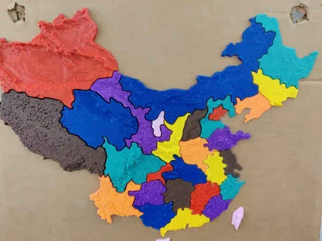
Map of China
Creality Cloud
The collection gathers 3D models of maps for 3D printing: world and continent reliefs, jigsaw and sliding puzzles, flexible maps and generator tools. It helps you find a map of a chosen region or assemble one from modular pieces. Most files are STL meshes that you slice and scale yourself. Polyzon does not confirm whether models are free, their price, license, official status, affiliation, safety or fitness. Check the current terms at the source.
Le texte de cette collection est rédigé en anglais ; la recherche, elle, fonctionne dans toutes les langues.
 Une collection Polyzon · 48 modèles sur 6 plateformes
Polyzon compose cette collection à partir des résultats de recherche des plateformes connectées. Les doublons et les modèles sans aperçu sont retirés, les correspondances faibles sont placées à la fin, et le reste suit l’ordre de la recherche. Les modèles appartiennent à leurs auteurs : consultez les conditions sur la page de chaque modèle.
Règles de sélection : la rédaction de Polyzon · Texte mis à jour le 13/10/2026


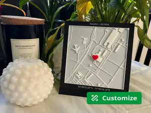
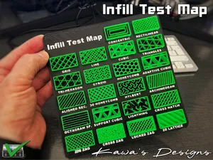


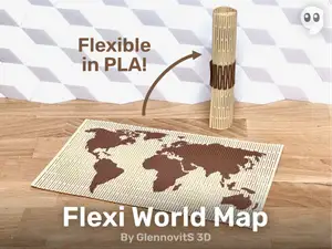
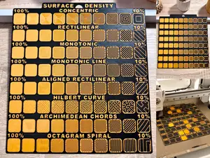

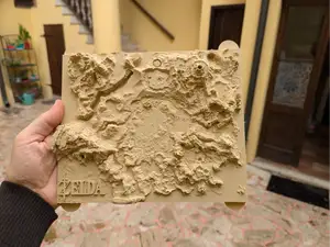

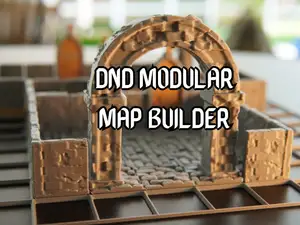

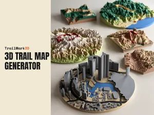
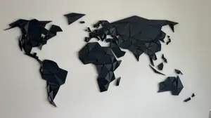

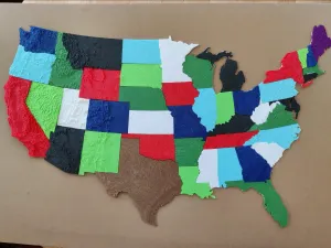


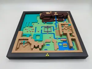

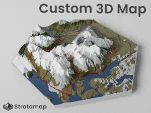
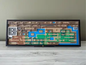

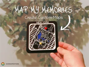


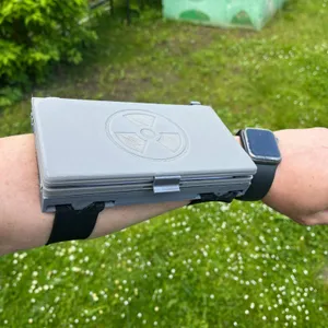

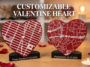

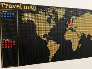


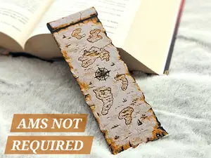

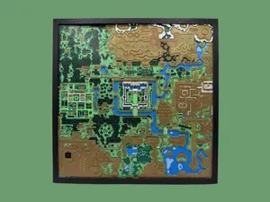


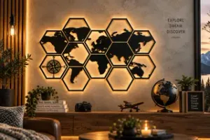


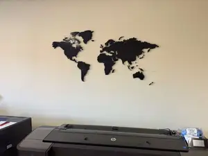
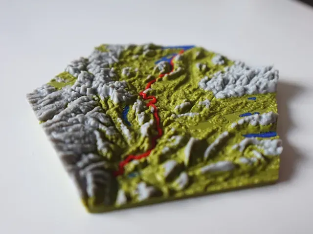
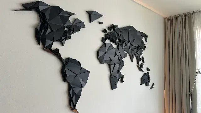
Map models differ mainly in how the surface is built. Relief versions reproduce terrain height and coastline, flat versions stay two-dimensional and are often cut into tiles or hexagons. Puzzles turn the same outline into separate pieces, while flexible prints use thin sections so the map can bend. Generator tools take a different route: you set a region and a style, and the tool produces the mesh.
Before printing, read the author's model page. Check the overall dimensions and scale, the number of separate parts and how they join, and whether the author lists supports, material and slicer settings. Photos of real prints show how thin the relief details and piece edges turn out. Large flat plates tend to warp, so splitting a map into smaller parts is often the practical choice.
To widen the results, try synonyms and related wording: relief map, topographic map, country map, city map, hex map, modular tiles, jigsaw, wall map. Adding a region name or a continent narrows the list quickly, and terms like generator or addon lead to tools rather than finished meshes. Related topics include globes, trail maps and game world maps.




Le catalogue complet des thèmes, de la maison à la CNC, avec une recherche sur tous les sites connectés.