
免费 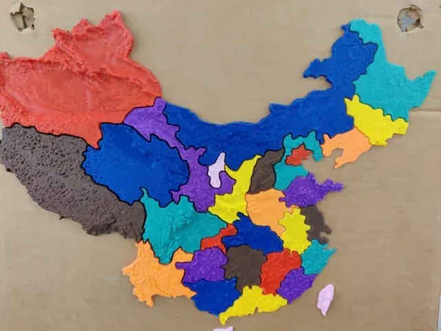
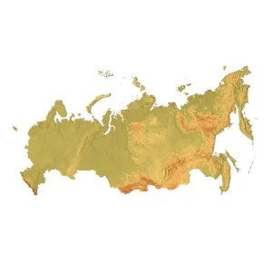
Map of China
Creality Cloud
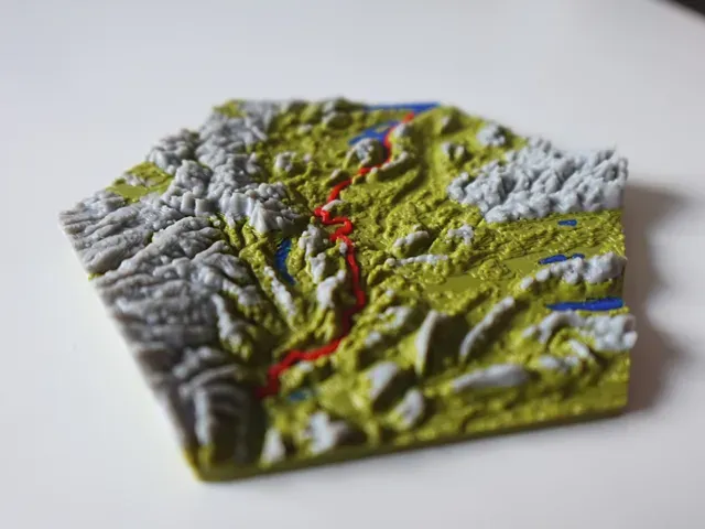
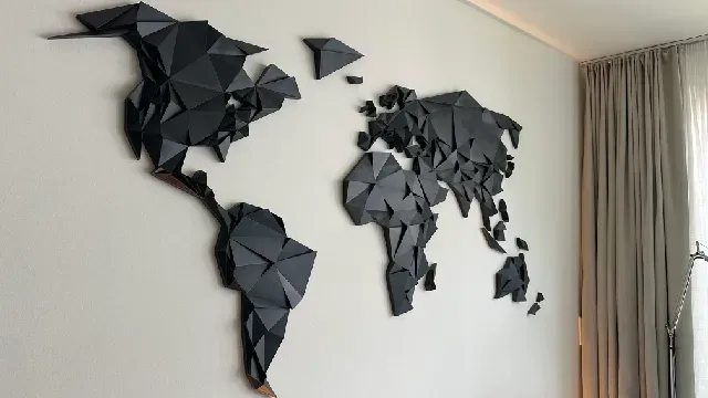
The collection gathers 3D models of maps for 3D printing: world and continent reliefs, jigsaw and sliding puzzles, flexible maps and generator tools. It helps you find a map of a chosen region or assemble one from modular pieces. Most files are STL meshes that you slice and scale yourself. Polyzon does not confirm whether models are free, their price, license, official status, affiliation, safety or fitness. Check the current terms at the source.
本合集的文字为英文,搜索本身支持任何语言。
 Polyzon合集 · 48个模型 来自6个平台
此合集由Polyzon根据已接入平台的搜索结果整理而成:去除重复项和没有预览图的模型,匹配度低的排在最后,其余按搜索结果顺序排列。模型归作者所有——请在各模型页面查看使用条款。
筛选规则:Polyzon编辑部 · 文字更新于2026年10月13日


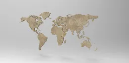
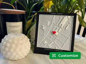
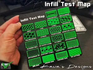


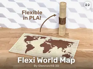
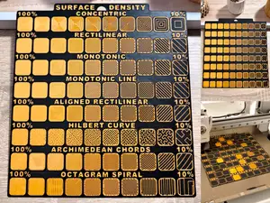

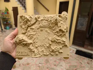

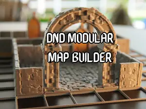

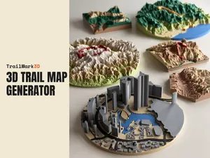
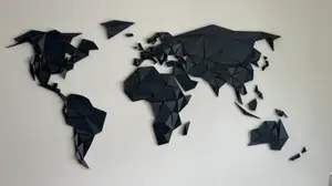

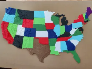


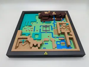

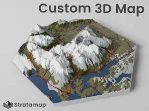
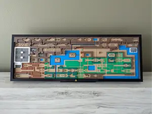

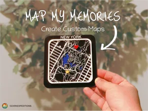



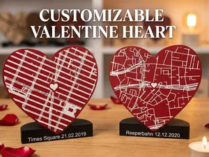

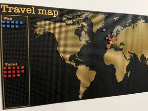


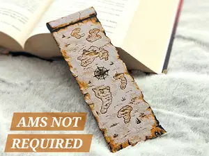

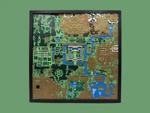


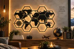


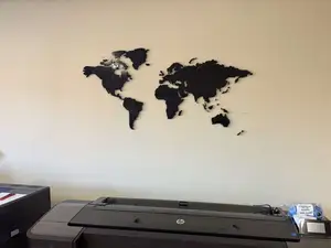
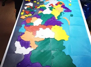
Map models differ mainly in how the surface is built. Relief versions reproduce terrain height and coastline, flat versions stay two-dimensional and are often cut into tiles or hexagons. Puzzles turn the same outline into separate pieces, while flexible prints use thin sections so the map can bend. Generator tools take a different route: you set a region and a style, and the tool produces the mesh.
Before printing, read the author's model page. Check the overall dimensions and scale, the number of separate parts and how they join, and whether the author lists supports, material and slicer settings. Photos of real prints show how thin the relief details and piece edges turn out. Large flat plates tend to warp, so splitting a map into smaller parts is often the practical choice.
To widen the results, try synonyms and related wording: relief map, topographic map, country map, city map, hex map, modular tiles, jigsaw, wall map. Adding a region name or a continent narrows the list quickly, and terms like generator or addon lead to tools rather than finished meshes. Related topics include globes, trail maps and game world maps.
完整的主题目录:从家居日用到CNC,均可在已接入的来源平台中搜索。