Gratuit 
Sim City 2000 Tabletop Play Set
Thingiverse
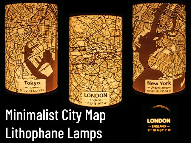
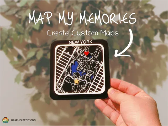
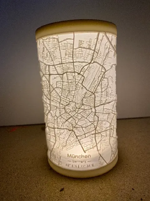
The collection gathers city map 3D models for 3D printing, from lithophane lamps to compact district miniatures. You can find landmark-focused layouts, custom map generators and tabletop city sets. Use the filters to narrow by scale, part count and file type. Polyzon does not confirm whether models are free, their price, license, official status, affiliation, safety or fitness. Check the current terms at the source.
Le texte de cette collection est rédigé en anglais ; la recherche, elle, fonctionne dans toutes les langues.
 Une collection Polyzon · 47 modèles sur 4 plateformes
Polyzon compose cette collection à partir des résultats de recherche des plateformes connectées. Les doublons et les modèles sans aperçu sont retirés, les correspondances faibles sont placées à la fin, et le reste suit l’ordre de la recherche. Les modèles appartiennent à leurs auteurs : consultez les conditions sur la page de chaque modèle.
Règles de sélection : la rédaction de Polyzon · Texte mis à jour le 13/10/2026
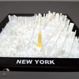


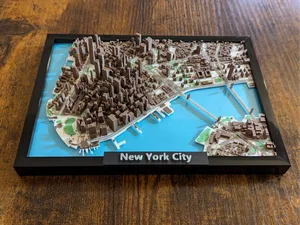
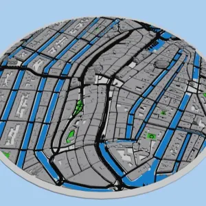
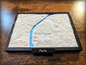
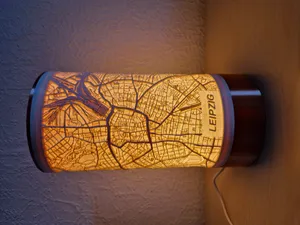
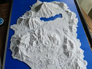
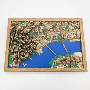

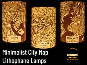
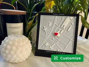
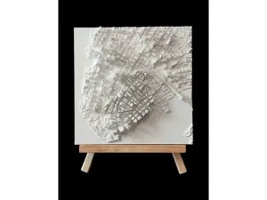

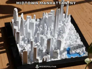
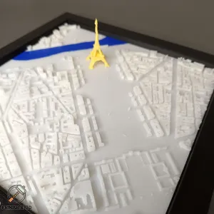
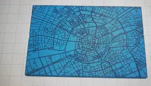
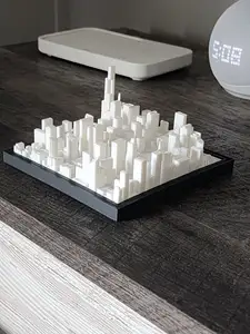
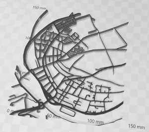


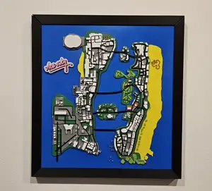
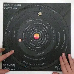


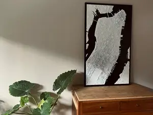
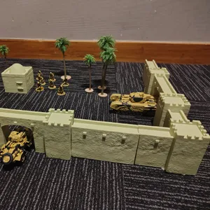


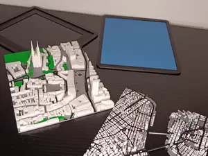
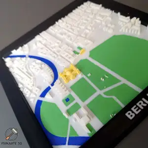

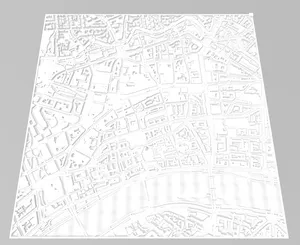
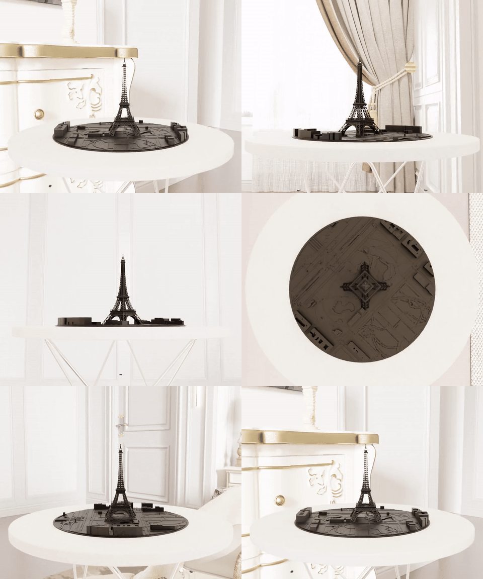


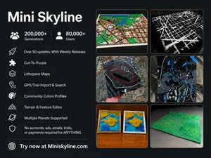
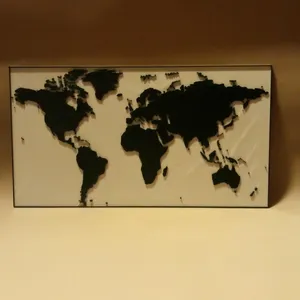

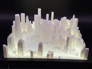

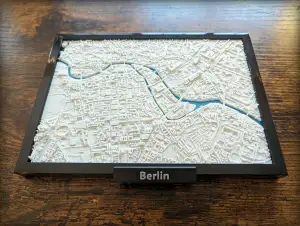

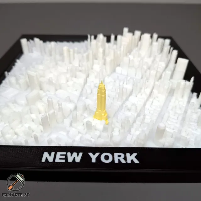
City map models range from flat lithophane panels that show streets through light to multi-part miniatures with buildings and terrain. Some files focus on recognizable landmarks, while others reproduce a whole district or a custom address. Tabletop and game-inspired sets often include separate blocks, roads and bases.
Before printing, check the model page for overall size and scale, the number of separate parts, and whether the author lists supports or assembly steps. Look at the recommended layer height, material and wall thickness, since thin map lines and small windows can behave differently at different scales. Photos of real prints help you judge surface detail and how the pieces fit together.
To refine a search, try terms such as city map STL, lithophane map, miniature city, landmark map or custom map generator. Related topics include urban planning models, topographic maps, tabletop terrain and architectural site plans. Adding a city name, region or scale to the query can separate broad world maps from local street layouts.




Le catalogue complet des thèmes, de la maison à la CNC, avec une recherche sur tous les sites connectés.