
Gratuit 
Sim City 2000 Tabletop Play Set
Thingiverse
This collection gathers 3D models related to Murmansk city maps, from relief plans to miniature urban scenes. It is useful for 3D printing projects that need a recognizable northern port city layout. You can compare scale, level of detail, and file format before choosing a model. Polyzon does not confirm whether models are free, their price, license, official status, affiliation, safety or fitness. Check the current terms at the source.
Le texte de cette collection est rédigé en anglais ; la recherche, elle, fonctionne dans toutes les langues.
 Une collection Polyzon · 47 modèles sur 3 plateformes
Polyzon compose cette collection à partir des résultats de recherche des plateformes connectées. Les doublons et les modèles sans aperçu sont retirés, les correspondances faibles sont placées à la fin, et le reste suit l’ordre de la recherche. Les modèles appartiennent à leurs auteurs : consultez les conditions sur la page de chaque modèle.
Règles de sélection : la rédaction de Polyzon · Texte mis à jour le 12/10/2026

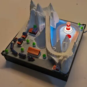
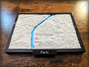
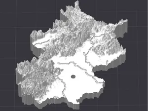
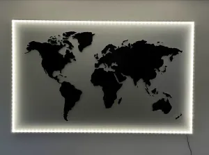

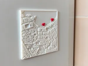
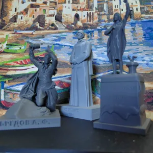

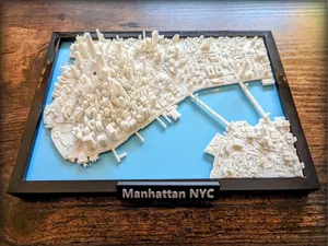
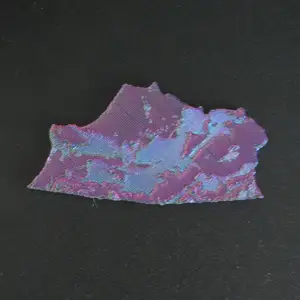
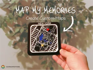
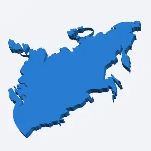

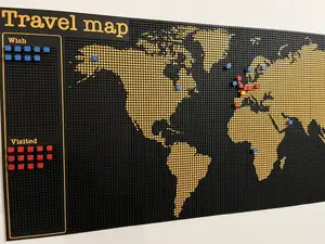
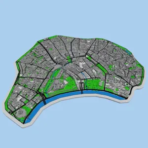


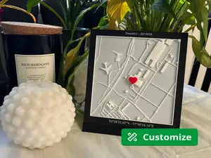
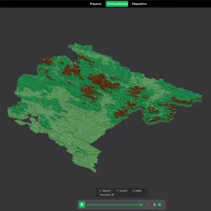

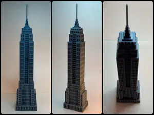
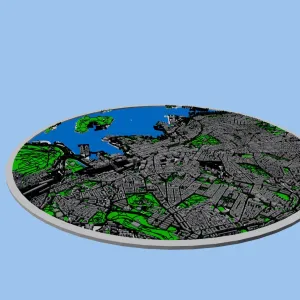

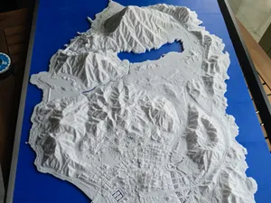
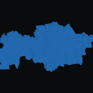

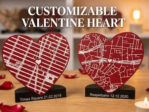
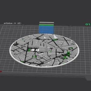

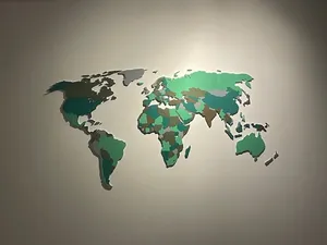
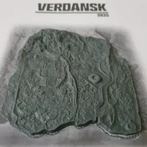
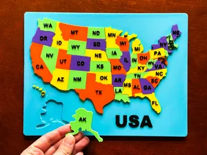
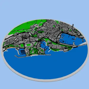

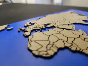
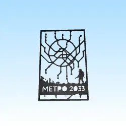

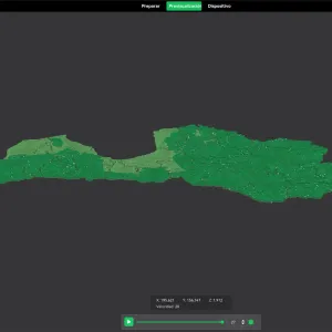
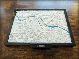
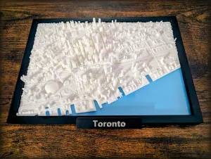
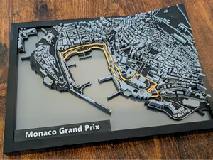
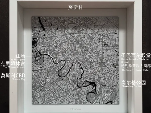
The collection includes city map miniatures, regional maps of Russia, topographic relief models, and diorama-style urban scenes. Some files focus on a single city center, while others cover a larger administrative area or combine terrain with buildings. The level of detail varies from simple street outlines to layered reliefs with rivers and coastlines.
When choosing a model, check the scale and dimensions, the number of parts, and whether assembly is required. Look at the author's notes on supports, layer height, and material, and review photos of actual prints to judge surface detail. A map with fine streets may need a smaller nozzle or careful slicing, while a relief map can often be printed as a single piece.
To refine the search, try synonyms such as city plan, urban map, relief map, and topographic model. Related topics include regional maps, port cities, Arctic settlements, and miniature dioramas. Adding a specific area or landmark name can narrow results to the part of Murmansk you want to represent.


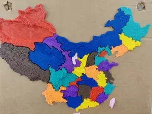
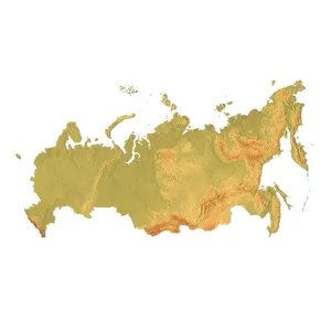

Le catalogue complet des thèmes, de la maison à la CNC, avec une recherche sur tous les sites connectés.