
$ 10.00 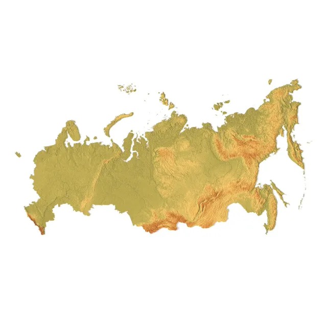
Russia Topographic Map for 3D Printing CNC Carving
3DExport
This collection gathers 3D models of Russia maps for 3D printing, from terrain relief and puzzle layouts to city and regional plans. You can compare how authors split large areas into parts, which scale they choose, and what print settings they list. It helps you find a map that fits your 3D printer and your intended display. Polyzon does not confirm whether models are free, their price, license, official status, affiliation, safety or fitness. Check the current terms at the source.
Il testo di questa raccolta è in inglese; la ricerca funziona in qualsiasi lingua.
 Una raccolta di Polyzon · 48 modelli da 7 siti
Polyzon compone questa raccolta a partire dai risultati di ricerca dei siti collegati. I doppioni e i modelli senza anteprima vengono rimossi, le corrispondenze deboli finiscono in fondo e il resto mantiene l’ordine dei risultati. I modelli appartengono ai rispettivi autori: verifica le condizioni sulla pagina di ciascun modello.
Criteri di selezione a cura della redazione di Polyzon · Testo aggiornato: 11/10/2026




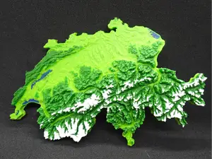

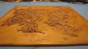
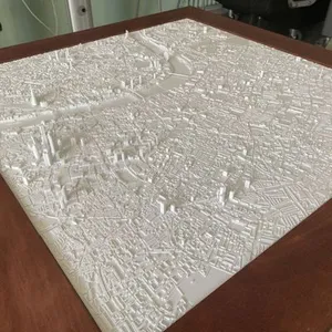

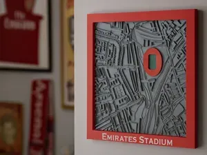
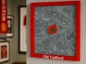


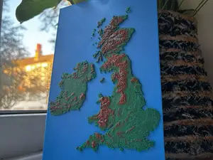
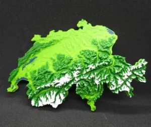


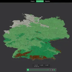
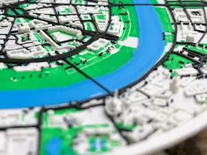
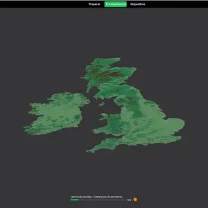


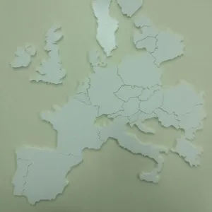
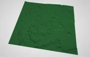
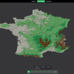

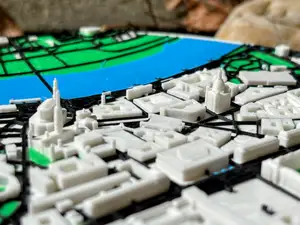
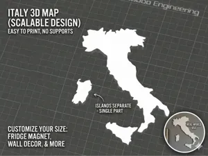
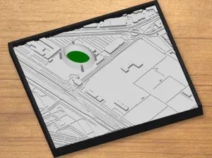

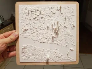
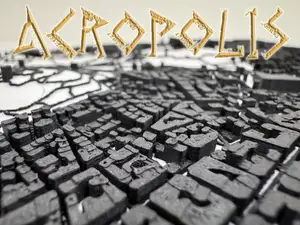


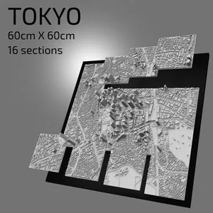
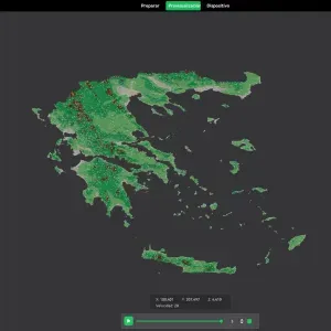
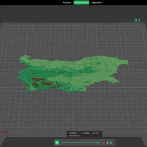
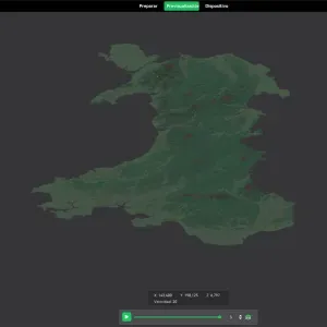
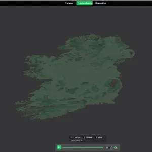
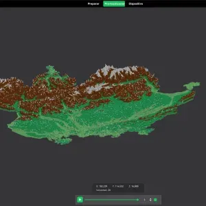
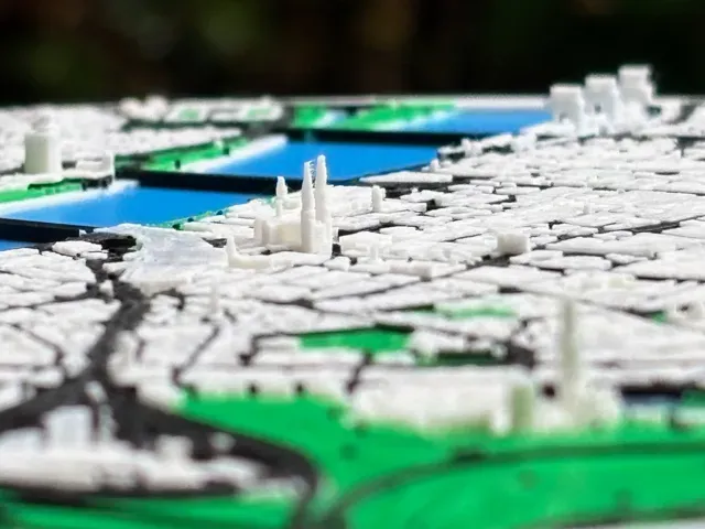
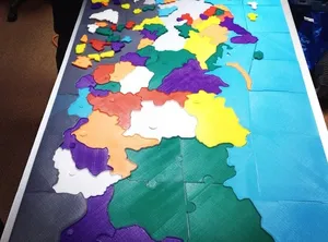
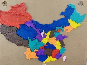
Map models differ mainly in how they represent the land. Terrain versions use elevation data and may come as a single piece or split into tiles, while puzzle versions turn borders and coastlines into interlocking parts. City maps focus on streets, buildings or landmarks, and regional maps follow administrative borders or natural features.
Before printing, check the model page for the map's scale, overall dimensions, and the number of separate parts. Look at whether the author shows supports, recommended layer height, infill, and material, and whether the model is split for a smaller build volume. Photos of real prints can help you judge how coastlines, borders, and small labels come out.
To narrow the results, try related terms such as relief map, terrain map, administrative map, puzzle map, or city map. You can also search for specific regions, federal subjects, or neighboring countries if you want a wider area. Adding terms like multi-part, wall mount, or display stand can help you find a layout that matches how you plan to use the print.


Il catalogo completo dei temi, dalla casa alla lavorazione CNC, con ricerca su tutti i siti collegati.

