
$ 10.00 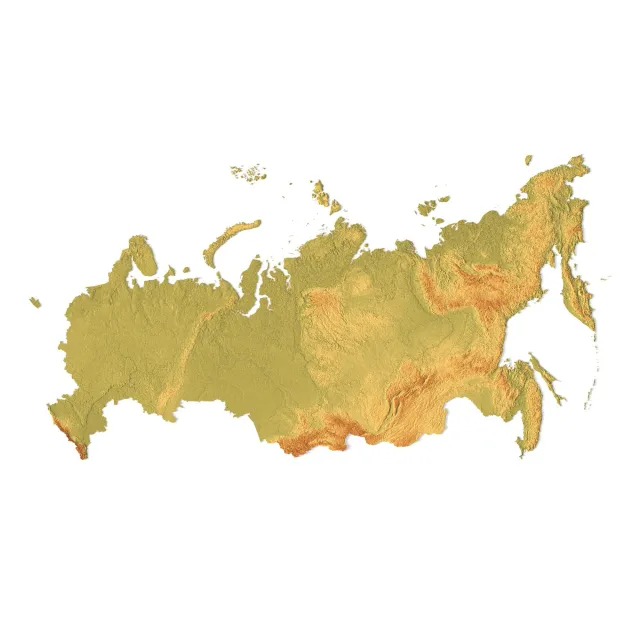
Russia Topographic Map for 3D Printing CNC Carving
3DExport
This collection gathers 3D models of Russia maps for 3D printing, from terrain relief and puzzle layouts to city and regional plans. You can compare how authors split large areas into parts, which scale they choose, and what print settings they list. It helps you find a map that fits your 3D printer and your intended display. Polyzon does not confirm whether models are free, their price, license, official status, affiliation, safety or fitness. Check the current terms at the source.
O texto desta coleção está em inglês; a busca funciona em qualquer idioma.
 Uma coleção do Polyzon · 48 modelos de 7 sites
O Polyzon monta esta coleção a partir dos resultados de busca dos sites conectados. Repetições e modelos sem prévia são removidos, correspondências fracas vão para o final e o restante segue a ordem da busca. Os modelos pertencem aos seus autores — confira os termos na página de cada modelo.
Regras de seleção: equipe editorial do Polyzon · Texto atualizado em 11/10/2026




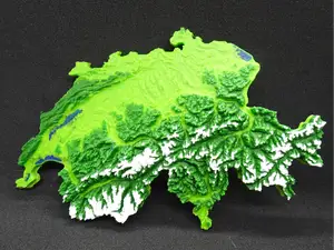

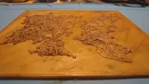
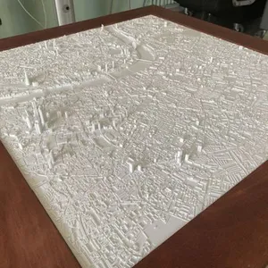

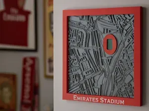
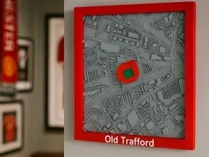


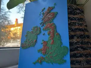
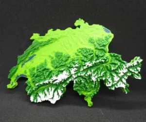


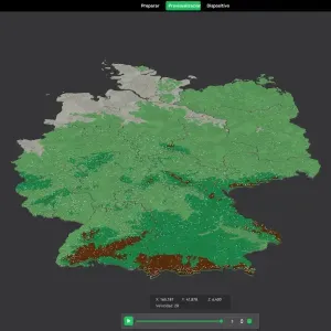
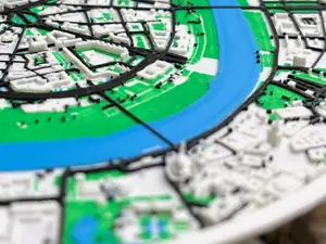
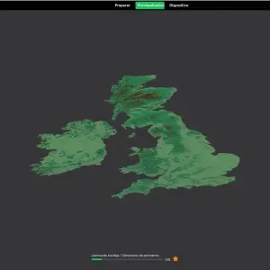


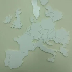
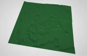
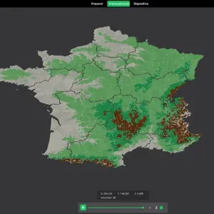

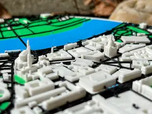
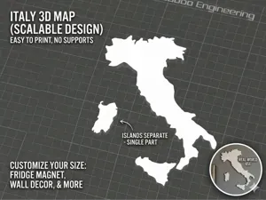
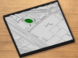

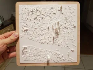
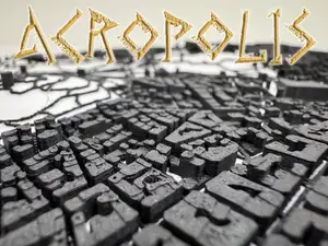


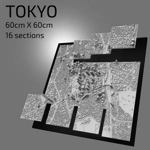
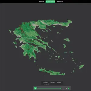
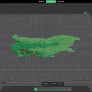
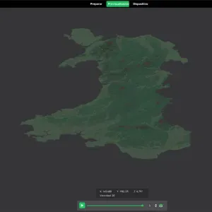
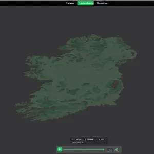
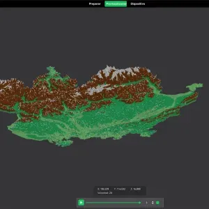
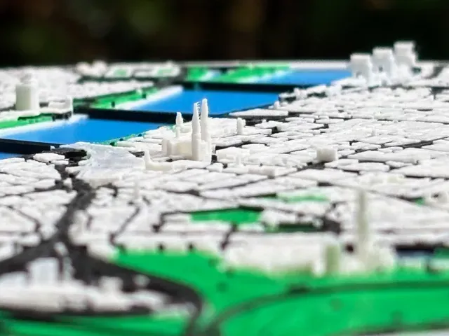
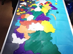
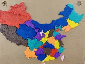
Map models differ mainly in how they represent the land. Terrain versions use elevation data and may come as a single piece or split into tiles, while puzzle versions turn borders and coastlines into interlocking parts. City maps focus on streets, buildings or landmarks, and regional maps follow administrative borders or natural features.
Before printing, check the model page for the map's scale, overall dimensions, and the number of separate parts. Look at whether the author shows supports, recommended layer height, infill, and material, and whether the model is split for a smaller build volume. Photos of real prints can help you judge how coastlines, borders, and small labels come out.
To narrow the results, try related terms such as relief map, terrain map, administrative map, puzzle map, or city map. You can also search for specific regions, federal subjects, or neighboring countries if you want a wider area. Adding terms like multi-part, wall mount, or display stand can help you find a layout that matches how you plan to use the print.


O catálogo completo de temas — de casa e utilidades a CNC, com busca em todos os sites conectados.

