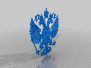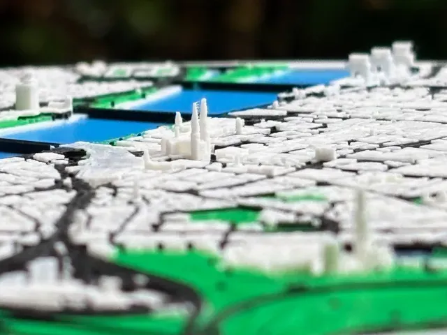
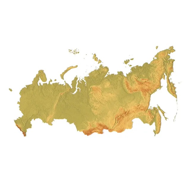
3D Models of Russia Maps for 3D Printing
This collection gathers 3D models of Russia maps for 3D printing, from terrain relief and puzzle layouts to city and regional plans. You can compare how authors split large areas into parts, which scale they choose, and what print settings they list. It helps you find a map that fits your 3D printer and your intended display. Polyzon does not confirm whether models are free, their price, license, official status, affiliation, safety or fitness. Check the current terms at the source.
Bu koleksiyonun metni İngilizce; arama ise her dilde çalışır.
Bu koleksiyon nasıl oluşturuldu
Polyzon bu koleksiyonu bağlı sitelerdeki arama sonuçlarından oluşturur. Tekrarlar ve önizlemesi olmayan modeller çıkarılır, zayıf eşleşmeler sona alınır, geri kalanlar arama sırasını korur. Modeller yazarlarına aittir; her modelin sayfasındaki koşulları kontrol edin.
Seçim kuralları: Polyzon editör ekibi · Metin güncellendi: 11.10.2026
Buradan başlayın
Bu koleksiyondaki tüm modeller
%2Fhttps%3A%2F%2Ffbi.cults3d.com%2Fuploaders%2F17908582%2Fillustration-file%2Fdfe4aba6-998a-4ee0-b99b-4516f2be40ce%2FManhattan.jpg&w=300)
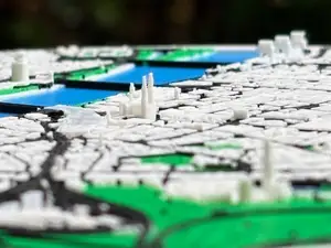
3D МОДЕЛЬ STL Манхэттен в рамке сувенир карта города 3D печать/CNC

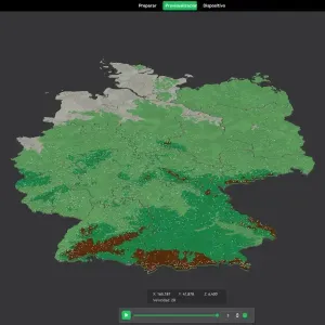
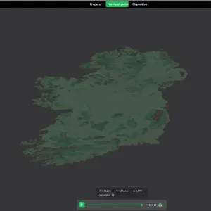
3d map of Germany
%2Fhttps%3A%2F%2Ffbi.cults3d.com%2Fuploaders%2F17908582%2Fillustration-file%2F528bc2a6-7df5-416c-bee4-546cadc06aa8%2FIMG_2163.jpg&w=300)
3D Манхэттен | Цифровые файлы | 3D STL файл | NYC 3D карта | 3D сити арт | 3D напечатанная достопримечательность | Модель горизонта Нью-Йорка | 3D арт

3D Map of Cologne, Germany
%2Fhttps%3A%2F%2Ffbi.cults3d.com%2Fuploaders%2F12985186%2Fillustration-file%2Fe93433f1-93a6-4404-92bf-9435bbf1a51b%2FIMG_8029b.jpg&w=300)
Колорадо США, Каньон Колорадо, Каньон Колорадо, Карта 3D

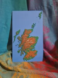
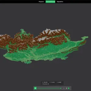
3D Topographic Map of Scotland

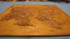
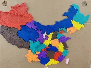
map of Russia, 3D printed, puzzle edition.

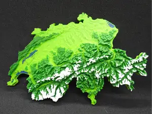
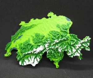
3D Topographical Relief Map of Switzerland
%2Fhttps%3A%2F%2Ffbi.cults3d.com%2Fuploaders%2F13500808%2Fillustration-file%2Ff7770e4b-c7ae-4873-803a-cb28ed132d36%2Fa1b1253268a7c72f21bec0b99fac645d_preview_featured.jpg&w=300)
Ванкувер - Британская Колумбия - 3D карта - Топографическая

Arma 3 - Altis 3D Map (Made from satellite imagery of Lemnos)

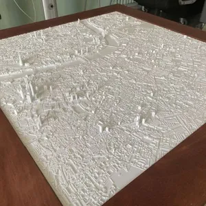
3D London | Digital Files | 3D STL File | London 3D Map | 3D City Art | 3D Printed Landmark | Model of London Skyline | 3D Art

3d map of the pyramids of giza

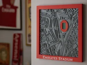
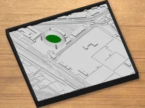
3D Map of London featuring the Emirates Stadium

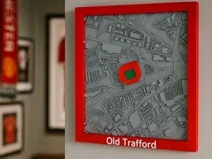
3D Map of Manchester featuring Old Trafford
КАРТА БРАЗИЛИИ 3D
Кади 3D карта с педрафоркой Каталония

3D Map of Austria

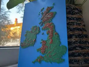
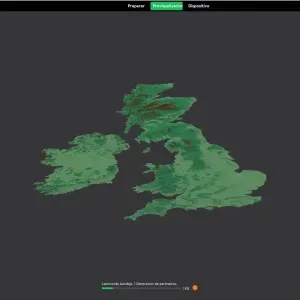
3D Topographic Map of the British Isles

3D Topographical Relief Map of Switzerland
%2Fhttps%3A%2F%2Ffbi.cults3d.com%2Fuploaders%2F14452218%2Fillustration-file%2F152593cd-b06d-440a-a410-b53cd3c72734%2FRoman_Empire_at_its_Height.png&w=300)
3D карта Римской империи

3D map of Switzerland
%2Fhttps%3A%2F%2Ffbi.cults3d.com%2Fuploaders%2F12985186%2Fillustration-file%2F4953246b-20e8-47ab-99af-57e224f012cd%2Feuropa_1.jpg&w=300)
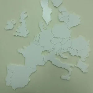
3D карта, географическая головоломка

States of Germany. 3D Map puzzle (16-piece)

3D Map of Dresden, Germany

Nations of British Isles. 3D Map puzzle (6-piece)

3D map of Poland

3d relief map of Ukraine

3D4KIDS exercise: 3D map of European countries

Topographic 3D Map Of Denmark

Regions of France. 3D Map puzzle (13-piece)

3D Map of Dayz Chernarus

3D Map of Dresden - Altstadt, Germany

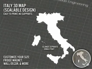
3D Map of Italy - Complete Silhouette with Islands

3D map of the Kuip - Feyenoord Rotterdam

Missile

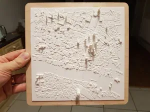
3D Map of the City of London

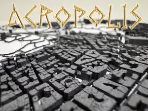
3D-Map of Acropolis

3D map of Tenerife
%2Fhttps%3A%2F%2Ffbi.cults3d.com%2Fuploaders%2F13500808%2Fillustration-file%2F18d86aca-a1a3-472a-bc62-6256db2a8f58%2Faffbc5e972801a48b9a1d0607db36a7e_display_large.jpg&w=300)
Ванкувер Канада - 3D карта

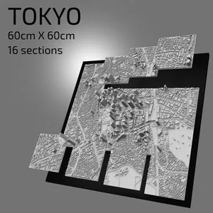
3D Tokyo | Digital Files | 3D STL File | Tokyo 3D Map | 3D City Art | 3D Printed Landmark | Model of Tokyo Skyline | 3D Art

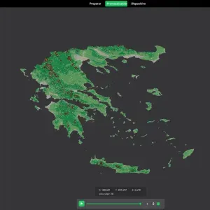
Regions of Greece. 3D Map puzzle (14-piece)

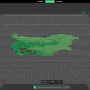
Provinces of Bulgaria. 3D Map puzzle (38-piece)

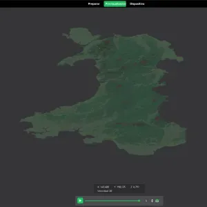
Counties of Wales. 3D Map puzzle (24-piece)

Counties of Éire. 3D Map puzzle (53-piece)

Cantons of Switzerland. 3D Map puzzle (26-piece)
«3D Models of Russia Maps for 3D Printing»
Map models differ mainly in how they represent the land. Terrain versions use elevation data and may come as a single piece or split into tiles, while puzzle versions turn borders and coastlines into interlocking parts. City maps focus on streets, buildings or landmarks, and regional maps follow administrative borders or natural features.
Before printing, check the model page for the map's scale, overall dimensions, and the number of separate parts. Look at whether the author shows supports, recommended layer height, infill, and material, and whether the model is split for a smaller build volume. Photos of real prints can help you judge how coastlines, borders, and small labels come out.
To narrow the results, try related terms such as relief map, terrain map, administrative map, puzzle map, or city map. You can also search for specific regions, federal subjects, or neighboring countries if you want a wider area. Adding terms like multi-part, wall mount, or display stand can help you find a layout that matches how you plan to use the print.
Sıkça sorulan sorular
What scale are 3D models of Russia maps usually made in?
Do these maps need supports?
Which file formats are common for 3D map models?
How can I make a large map fit my 3D printer?
Tüm 3D model kategorileri
Ev ve günlük yaşamdan CNC'ye kadar tüm konuların kataloğu; bağlı sitelerin hepsinde arama yapabilirsiniz.

%2Fhttps%3A%2F%2Ffbi.cults3d.com%2Fuploaders%2F17908582%2Fillustration-file%2Fdfe4aba6-998a-4ee0-b99b-4516f2be40ce%2FManhattan.jpg&w=640)
%2Fhttps%3A%2F%2Ffbi.cults3d.com%2Fuploaders%2F12970048%2Fillustration-file%2Fdb59a522-eb1a-448c-b073-5d40e0cd518a%2FEverest.jpg&w=640)