無料 
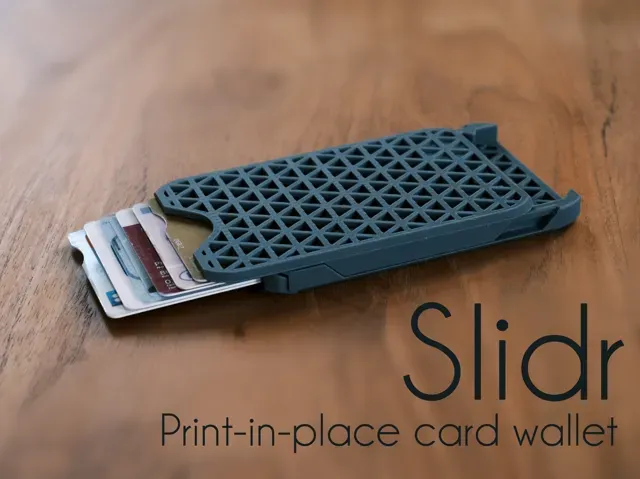
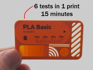
Cascade card wallet (Print-in-place)
Printables
This collection gathers STL files for printed maps, from terrain and globes to game-inspired layouts and calibration plates. It helps you find a starting point for 3D printing a map and compare how different approaches handle scale, detail and assembly. Polyzon does not confirm whether models are free, their price, license, official status, affiliation, safety or fitness. Check the current terms at the source.
このコレクションの本文は英語で書かれています。検索自体はどの言語でも使えます。
 Polyzonのコレクション · モデル48件 6サイトから収集
このコレクションは、Polyzonが対応サイトの検索結果をもとに作成しています。重複やプレビューのないモデルは除外し、関連性の低いものは後ろに回し、それ以外は検索結果の順に並べています。モデルの権利は各作者にあります。利用条件は各モデルのページでご確認ください。
選定基準:Polyzon編集部 · 本文の更新日:2026年10月15日




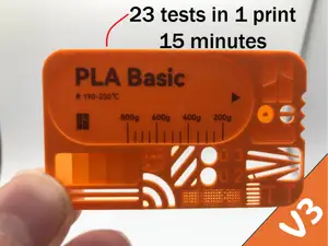



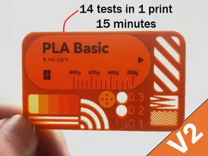
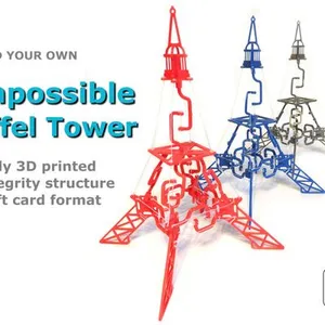

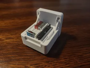
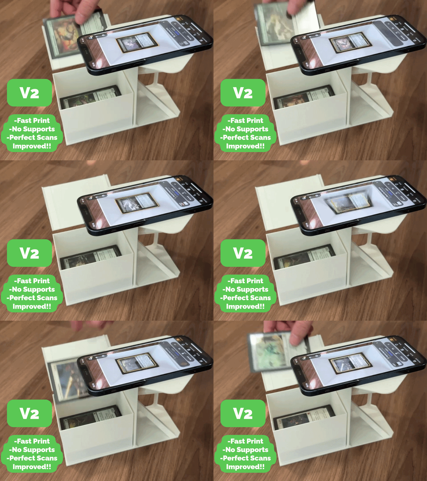
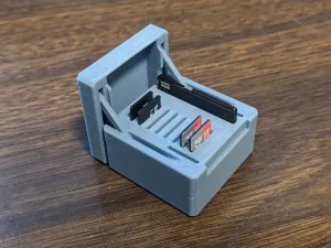





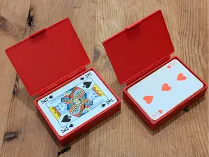

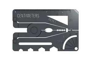
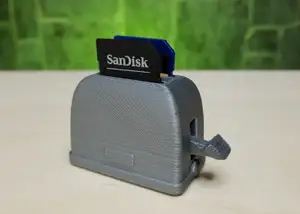
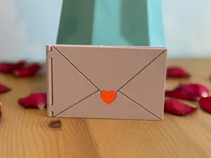

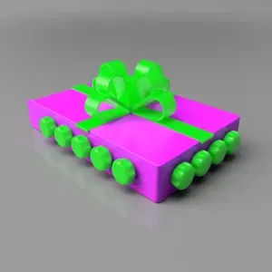
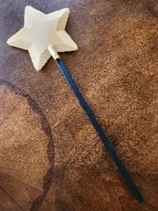
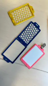



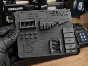
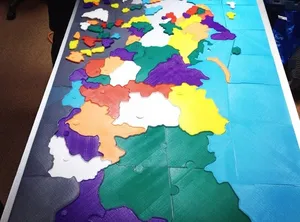
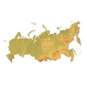
The collection covers several map families. Terrain and contour models translate elevation into stepped or smooth surfaces, while globes and world maps often use real elevation data. Game-inspired layouts focus on recognizable arenas and simplified geometry, and test maps are flat plates with gaps, infill patterns or surface changes for checking a printer's behavior.
When choosing a map, look at the scale and the area it covers, the number of parts and how they join, and whether the author lists supports or a particular material and layer height. Check photos of real prints to judge how coastlines, labels or small terrain features come out. Large maps may need splitting, while small test plates print quickly and help tune settings.
To refine the search, try synonyms such as terrain, relief, contour, globe, world, puzzle or calibration. Related topics include elevation data, game level layouts, map tiles and modular sections. Adding a scale, region or map type narrows the results further.


暮らし・日用品からCNCまで、すべてのテーマをそろえたカタログ。対応サイトを横断して検索できます。