Kostenlos 
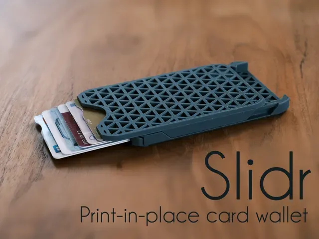
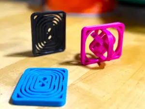
Cascade card wallet (Print-in-place)
Printables
This collection gathers STL files for printed maps, from terrain and globes to game-inspired layouts and calibration plates. It helps you find a starting point for 3D printing a map and compare how different approaches handle scale, detail and assembly. Polyzon does not confirm whether models are free, their price, license, official status, affiliation, safety or fitness. Check the current terms at the source.
Der Text dieser Sammlung ist auf Englisch verfasst; die Suche selbst funktioniert in jeder Sprache.
 Eine Sammlung von Polyzon · 48 Modelle von 6 Plattformen
Polyzon stellt diese Sammlung aus den Suchergebnissen der angebundenen Plattformen zusammen. Dubletten und Modelle ohne Vorschaubild werden entfernt, schwache Treffer rutschen ans Ende, der Rest bleibt in der Reihenfolge der Suche. Die Modelle gehören ihren Urhebern – die Bedingungen findest du auf der Seite des jeweiligen Modells.
Auswahlregeln: Polyzon-Redaktion · Text aktualisiert: 15.10.2026




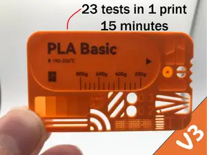

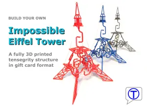


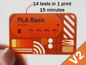
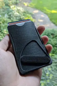
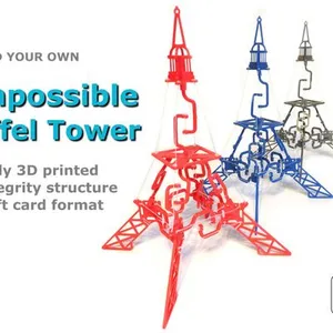

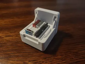
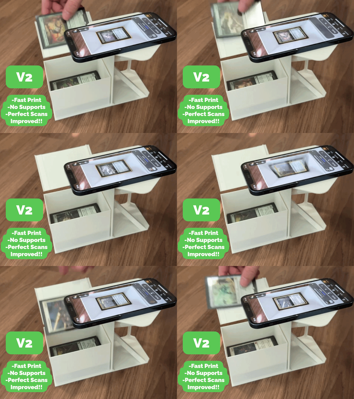
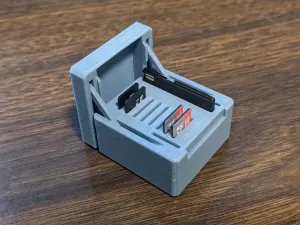





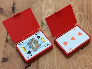

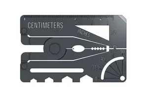
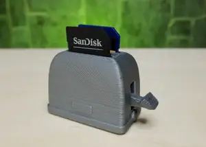

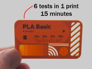

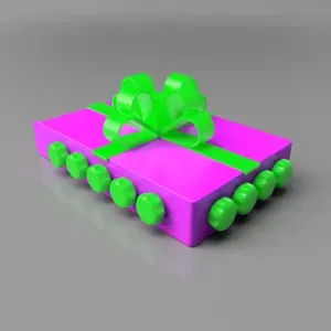

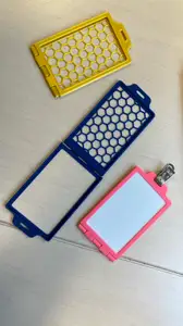
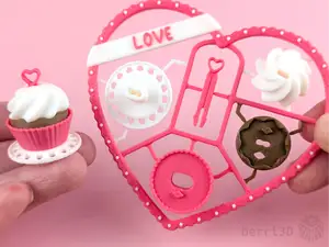


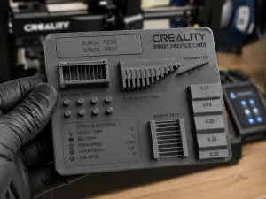
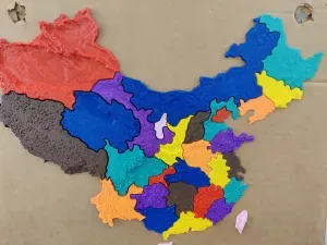
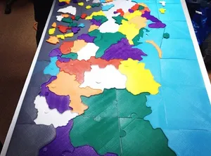
The collection covers several map families. Terrain and contour models translate elevation into stepped or smooth surfaces, while globes and world maps often use real elevation data. Game-inspired layouts focus on recognizable arenas and simplified geometry, and test maps are flat plates with gaps, infill patterns or surface changes for checking a printer's behavior.
When choosing a map, look at the scale and the area it covers, the number of parts and how they join, and whether the author lists supports or a particular material and layer height. Check photos of real prints to judge how coastlines, labels or small terrain features come out. Large maps may need splitting, while small test plates print quickly and help tune settings.
To refine the search, try synonyms such as terrain, relief, contour, globe, world, puzzle or calibration. Related topics include elevation data, game level layouts, map tiles and modular sections. Adding a scale, region or map type narrows the results further.


Der komplette Themenkatalog – von Wohnen & Haushalt bis CNC, mit Suche auf allen angebundenen Plattformen.