Grátis 
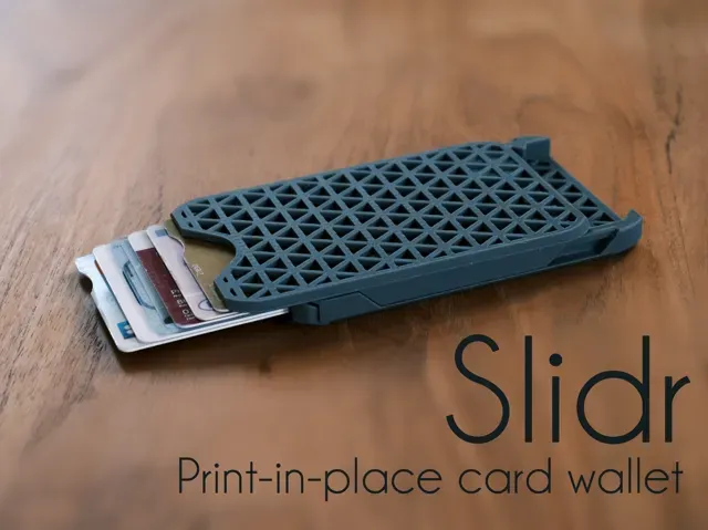
Cascade card wallet (Print-in-place)
Printables
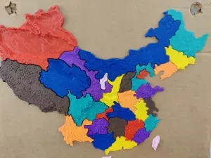
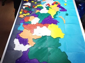
This collection gathers STL files for printed maps, from terrain and globes to game-inspired layouts and calibration plates. It helps you find a starting point for 3D printing a map and compare how different approaches handle scale, detail and assembly. Polyzon does not confirm whether models are free, their price, license, official status, affiliation, safety or fitness. Check the current terms at the source.
O texto desta coleção está em inglês; a busca funciona em qualquer idioma.
 Uma coleção do Polyzon · 48 modelos de 6 sites
O Polyzon monta esta coleção a partir dos resultados de busca dos sites conectados. Repetições e modelos sem prévia são removidos, correspondências fracas vão para o final e o restante segue a ordem da busca. Os modelos pertencem aos seus autores — confira os termos na página de cada modelo.
Regras de seleção: equipe editorial do Polyzon · Texto atualizado em 15/10/2026




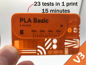

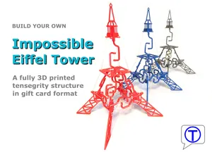


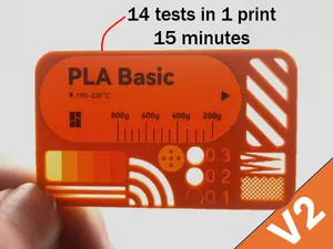







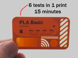

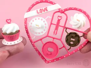


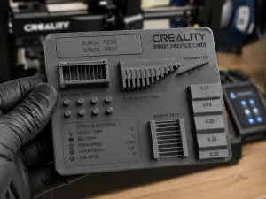
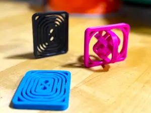
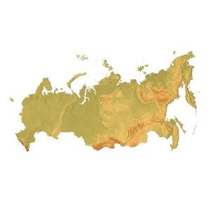
The collection covers several map families. Terrain and contour models translate elevation into stepped or smooth surfaces, while globes and world maps often use real elevation data. Game-inspired layouts focus on recognizable arenas and simplified geometry, and test maps are flat plates with gaps, infill patterns or surface changes for checking a printer's behavior.
When choosing a map, look at the scale and the area it covers, the number of parts and how they join, and whether the author lists supports or a particular material and layer height. Check photos of real prints to judge how coastlines, labels or small terrain features come out. Large maps may need splitting, while small test plates print quickly and help tune settings.
To refine the search, try synonyms such as terrain, relief, contour, globe, world, puzzle or calibration. Related topics include elevation data, game level layouts, map tiles and modular sections. Adding a scale, region or map type narrows the results further.


O catálogo completo de temas — de casa e utilidades a CNC, com busca em todos os sites conectados.