
無料 
Ventilator connector for Decathlon EASYBREAH SUBEA - COVID 19. NO SUPPORT
Thingiverse
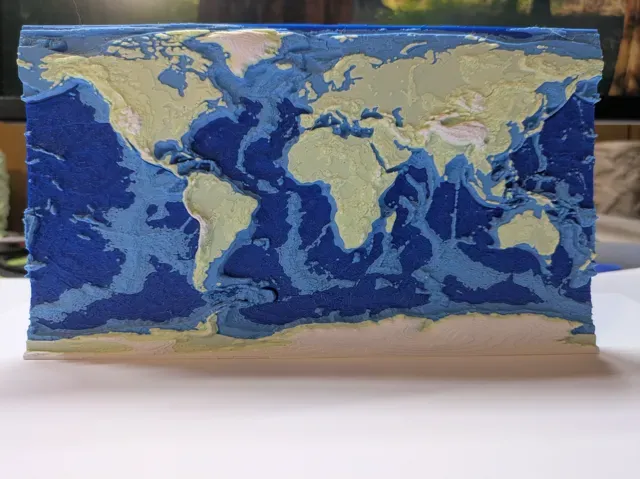
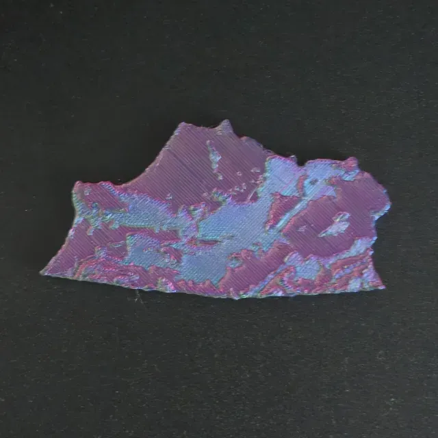
This collection gathers STL files for models tied to Vologda Oblast and similar northern Russian regions. You will find topographic maps, relief terrain, flags, and rural Slavic scenes. It helps when you need a regional map or a themed piece for 3D printing. Polyzon does not confirm whether models are free, their price, license, official status, affiliation, safety or fitness. Check the current terms at the source.
このコレクションの本文は英語で書かれています。検索自体はどの言語でも使えます。
 Polyzonのコレクション · モデル24件 3サイトから収集
このコレクションは、Polyzonが対応サイトの検索結果をもとに作成しています。重複やプレビューのないモデルは除外し、関連性の低いものは後ろに回し、それ以外は検索結果の順に並べています。モデルの権利は各作者にあります。利用条件は各モデルのページでご確認ください。
選定基準:Polyzon編集部 · 本文の更新日:2026年10月15日

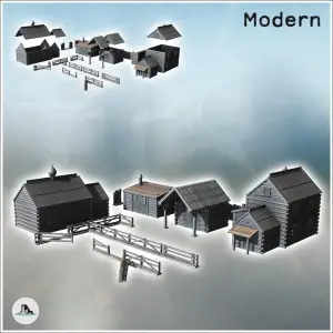
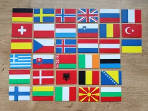
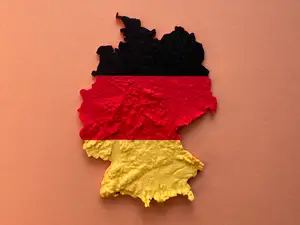

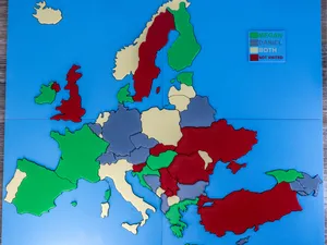
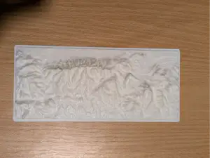
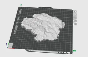
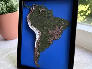
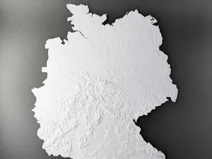
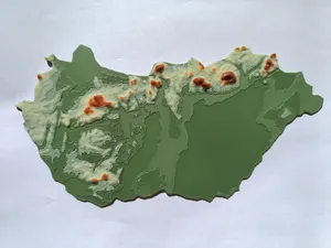
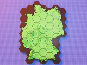
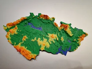
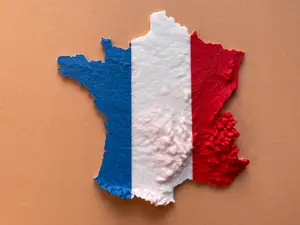
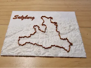
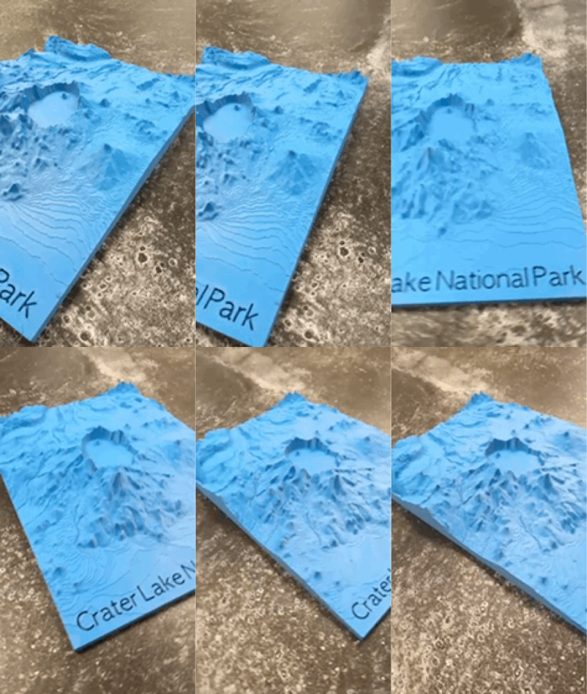

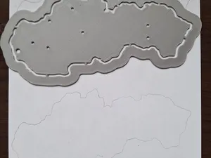
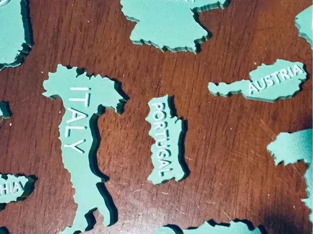
Topographic and relief maps differ by how they represent elevation: some use color layers, others rely on geometry alone. Flag models often combine a regional flag with a map outline, while rural scene sets focus on buildings and landscape elements. Administrative maps may show borders and place names, and terrain maps can be split into tiles for larger prints.
Before printing, check the model page for scale, overall size, and the number of separate parts. Look at whether the author lists supports, layer height, and material, and examine photos of finished prints to judge surface detail. For terrain maps, consider how the elevation is exaggerated, because steep slopes can need slower speeds and extra cooling.
To find more, try synonyms such as region, oblast, district, and administrative map. Related topics include Russian North, northern Russia, Slavic architecture, and Orthodox chapel models. You can also search for neighboring areas or broader European relief maps if you want a wider geographic context.
暮らし・日用品からCNCまで、すべてのテーマをそろえたカタログ。対応サイトを横断して検索できます。