
Ücretsiz 
Ventilator connector for Decathlon EASYBREAH SUBEA - COVID 19. NO SUPPORT
Thingiverse
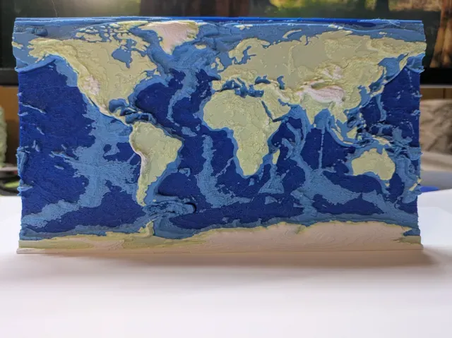
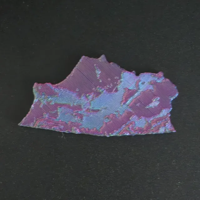
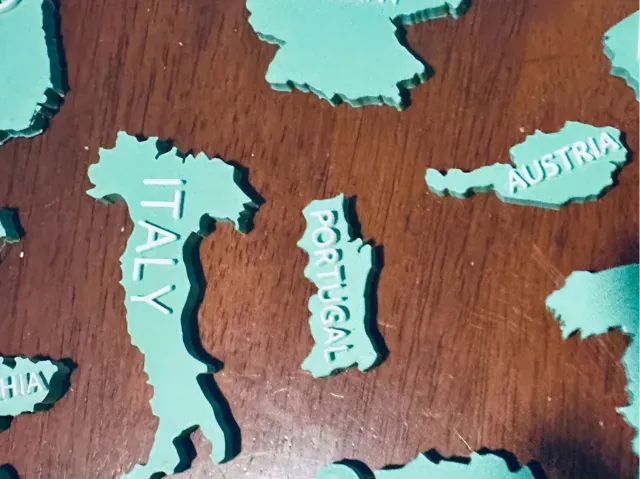
This collection gathers STL files for models tied to Vologda Oblast and similar northern Russian regions. You will find topographic maps, relief terrain, flags, and rural Slavic scenes. It helps when you need a regional map or a themed piece for 3D printing. Polyzon does not confirm whether models are free, their price, license, official status, affiliation, safety or fitness. Check the current terms at the source.
Bu koleksiyonun metni İngilizce; arama ise her dilde çalışır.
 Bir Polyzon koleksiyonu · 24 model 3 siteden
Polyzon bu koleksiyonu bağlı sitelerdeki arama sonuçlarından oluşturur. Tekrarlar ve önizlemesi olmayan modeller çıkarılır, zayıf eşleşmeler sona alınır, geri kalanlar arama sırasını korur. Modeller yazarlarına aittir; her modelin sayfasındaki koşulları kontrol edin.
Seçim kuralları: Polyzon editör ekibi · Metin güncellendi: 15.10.2026

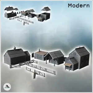
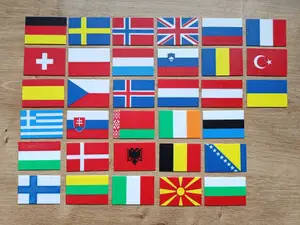
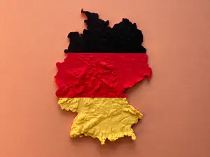

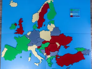
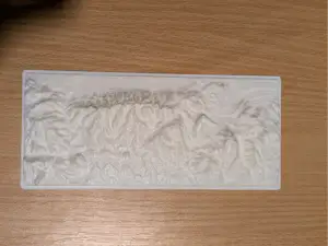
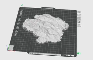
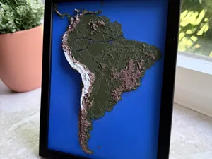
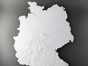
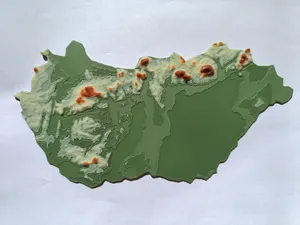
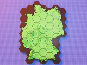
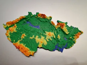
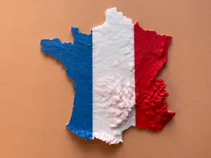
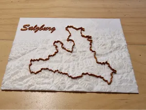
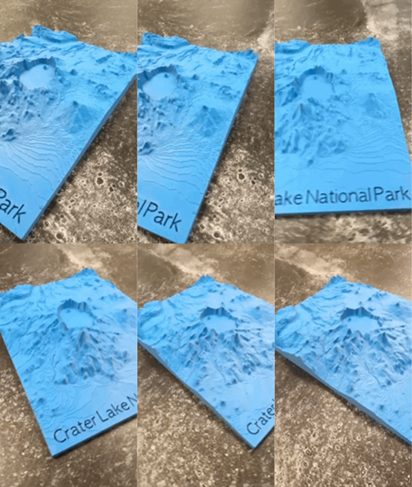

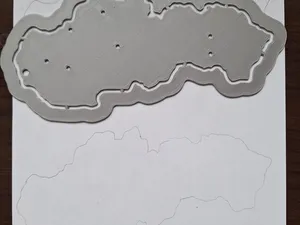
Topographic and relief maps differ by how they represent elevation: some use color layers, others rely on geometry alone. Flag models often combine a regional flag with a map outline, while rural scene sets focus on buildings and landscape elements. Administrative maps may show borders and place names, and terrain maps can be split into tiles for larger prints.
Before printing, check the model page for scale, overall size, and the number of separate parts. Look at whether the author lists supports, layer height, and material, and examine photos of finished prints to judge surface detail. For terrain maps, consider how the elevation is exaggerated, because steep slopes can need slower speeds and extra cooling.
To find more, try synonyms such as region, oblast, district, and administrative map. Related topics include Russian North, northern Russia, Slavic architecture, and Orthodox chapel models. You can also search for neighboring areas or broader European relief maps if you want a wider geographic context.




Ev ve günlük yaşamdan CNC'ye kadar tüm konuların kataloğu; bağlı sitelerin hepsinde arama yapabilirsiniz.