
免费 
Ventilator connector for Decathlon EASYBREAH SUBEA - COVID 19. NO SUPPORT
Thingiverse
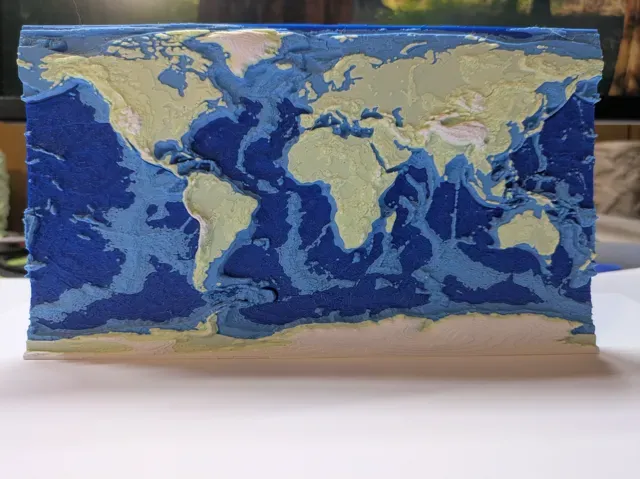
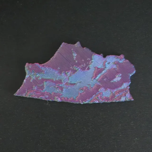
This collection gathers STL files for models tied to Vologda Oblast and similar northern Russian regions. You will find topographic maps, relief terrain, flags, and rural Slavic scenes. It helps when you need a regional map or a themed piece for 3D printing. Polyzon does not confirm whether models are free, their price, license, official status, affiliation, safety or fitness. Check the current terms at the source.
本合集的文字为英文,搜索本身支持任何语言。
 Polyzon合集 · 24个模型 来自3个平台
此合集由Polyzon根据已接入平台的搜索结果整理而成:去除重复项和没有预览图的模型,匹配度低的排在最后,其余按搜索结果顺序排列。模型归作者所有——请在各模型页面查看使用条款。
筛选规则:Polyzon编辑部 · 文字更新于2026年10月15日

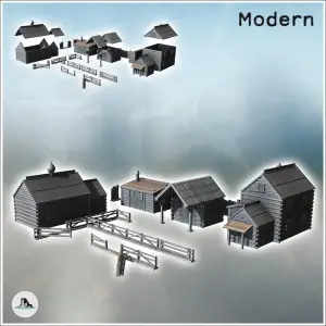
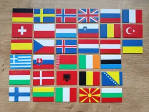
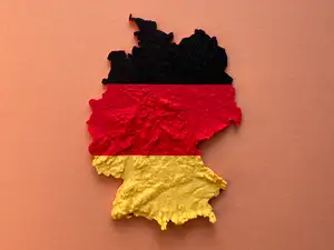

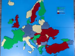
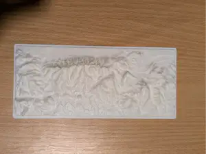
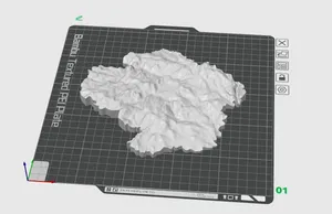
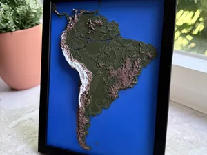
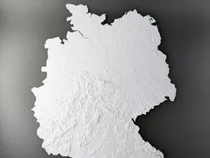
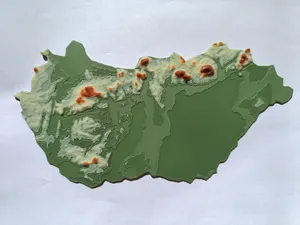
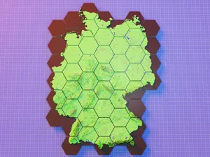
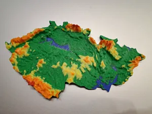
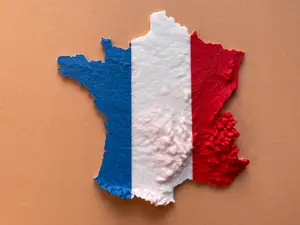
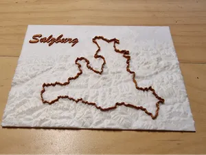
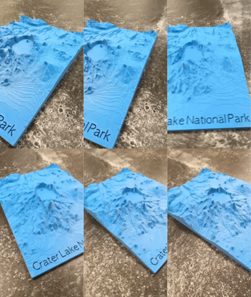

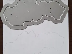
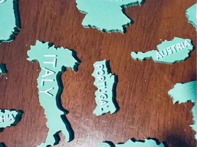
Topographic and relief maps differ by how they represent elevation: some use color layers, others rely on geometry alone. Flag models often combine a regional flag with a map outline, while rural scene sets focus on buildings and landscape elements. Administrative maps may show borders and place names, and terrain maps can be split into tiles for larger prints.
Before printing, check the model page for scale, overall size, and the number of separate parts. Look at whether the author lists supports, layer height, and material, and examine photos of finished prints to judge surface detail. For terrain maps, consider how the elevation is exaggerated, because steep slopes can need slower speeds and extra cooling.
To find more, try synonyms such as region, oblast, district, and administrative map. Related topics include Russian North, northern Russia, Slavic architecture, and Orthodox chapel models. You can also search for neighboring areas or broader European relief maps if you want a wider geographic context.
完整的主题目录:从家居日用到CNC,均可在已接入的来源平台中搜索。